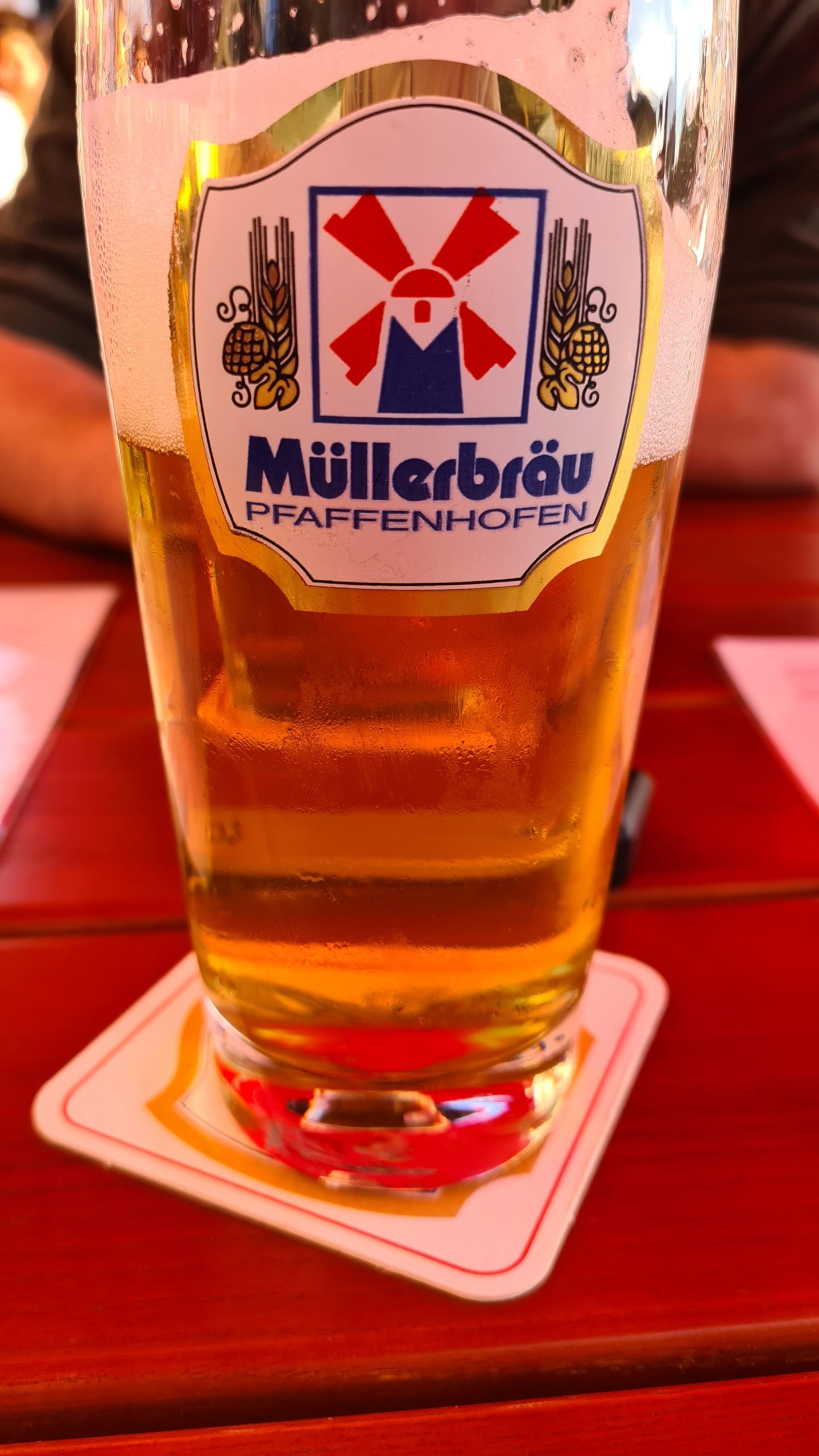
Bier und wo es herkommt
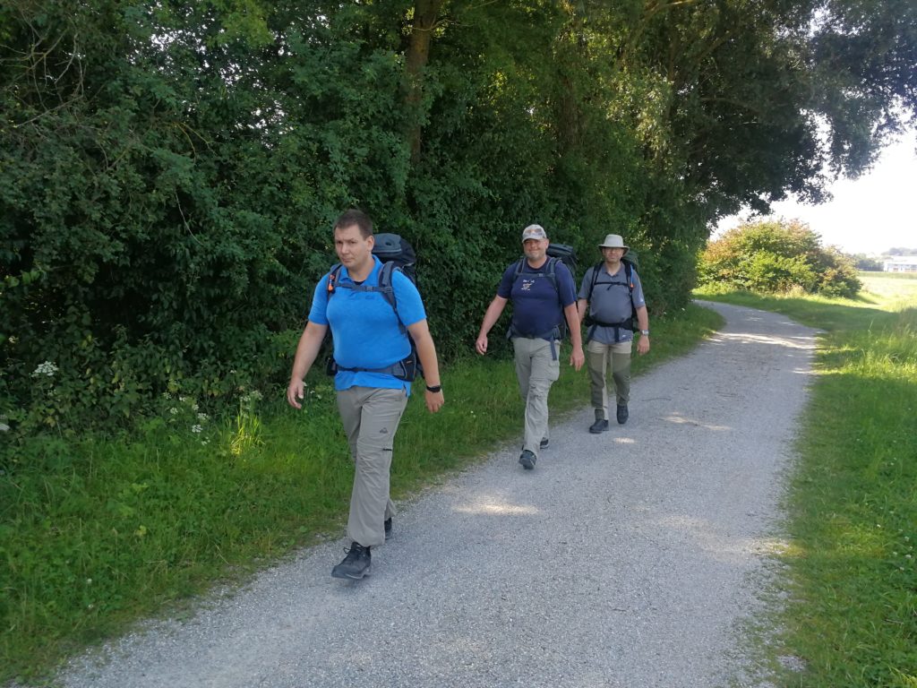
An der Ilm entlang durch die Hallertau.
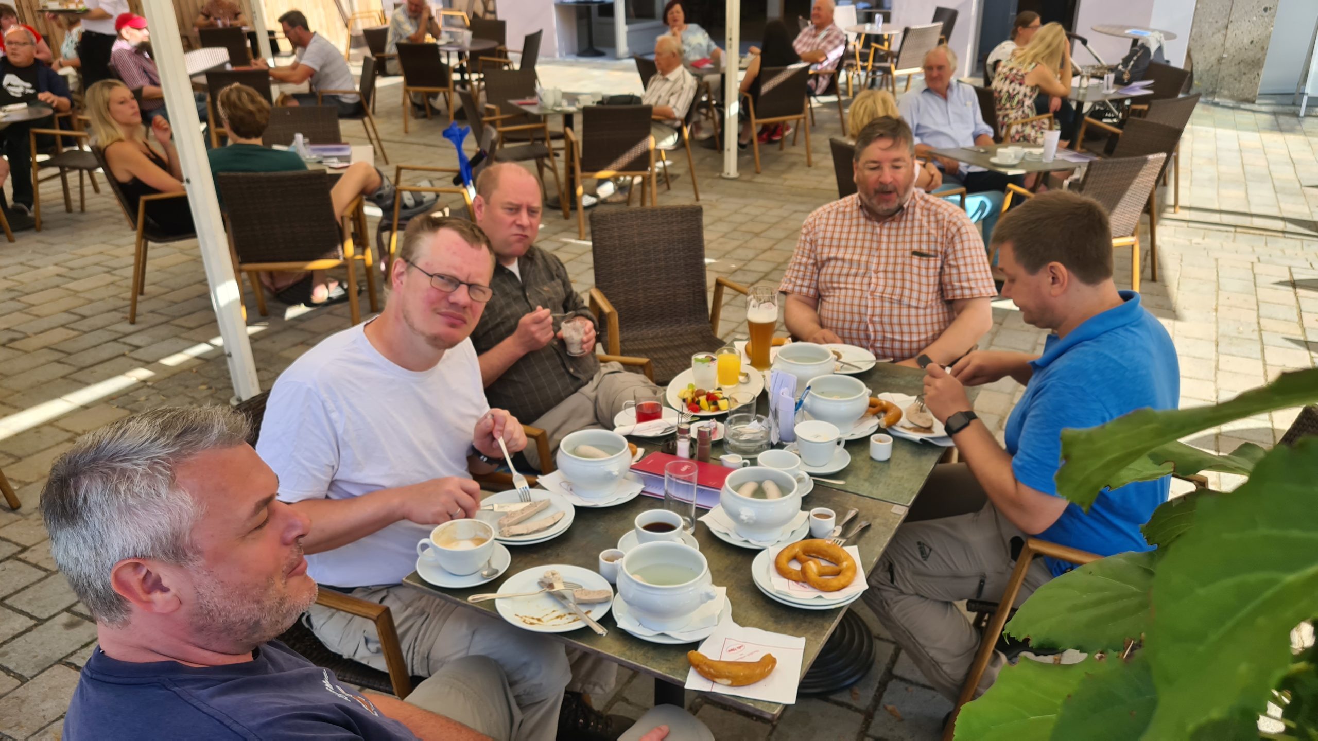
mit Weisswürsten und vereinzelten Weissbieren
Map of the route “Tour vom 22.07.2020”: 12.837 m, 174 m of climbing and 198 m of descent, elevation between 427 m and 500 m, time 05:26:35. It starts at 48.47548, 11.50980 and ends at 48.52973, 11.50845 (latitude, longitude).
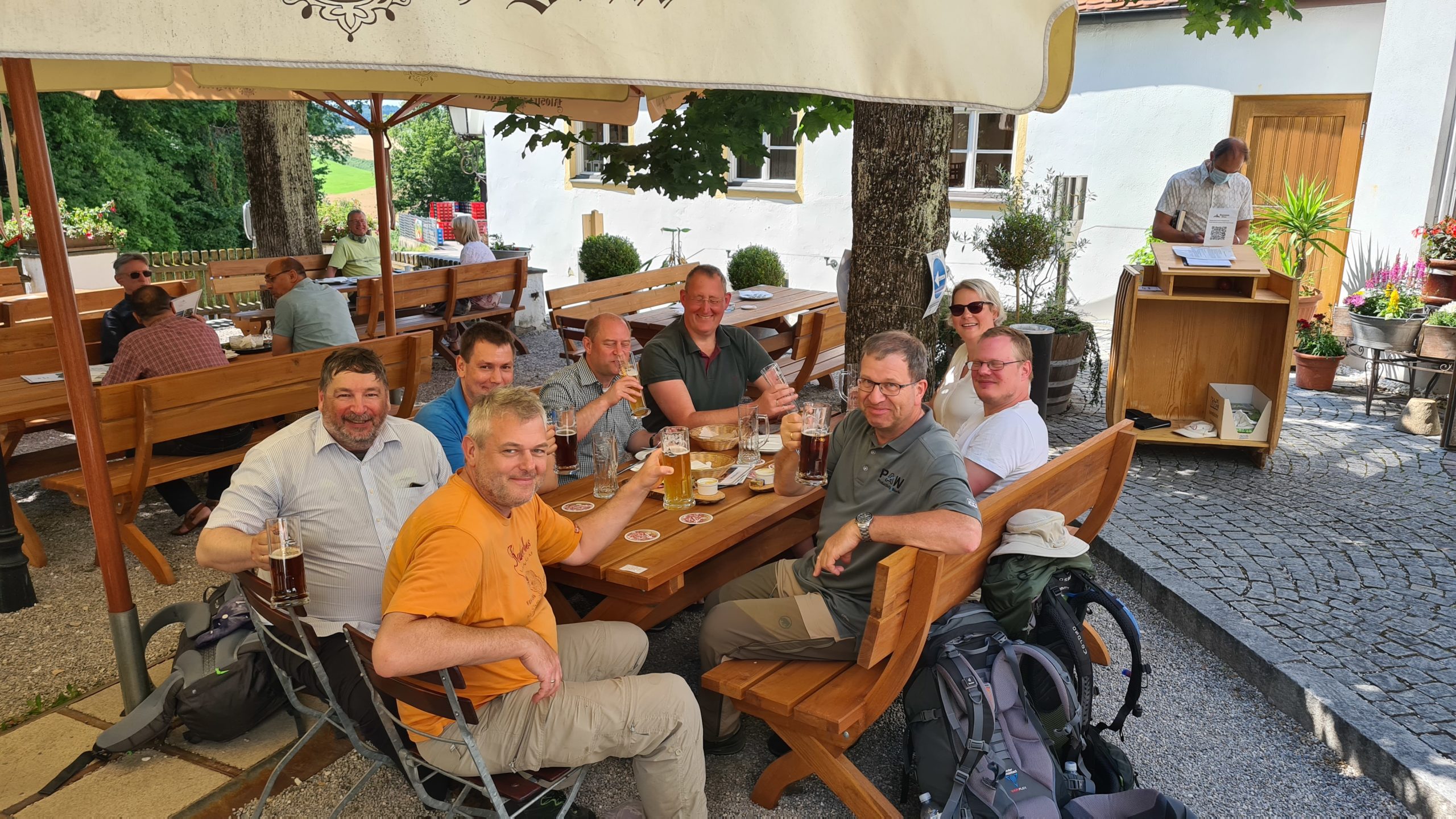
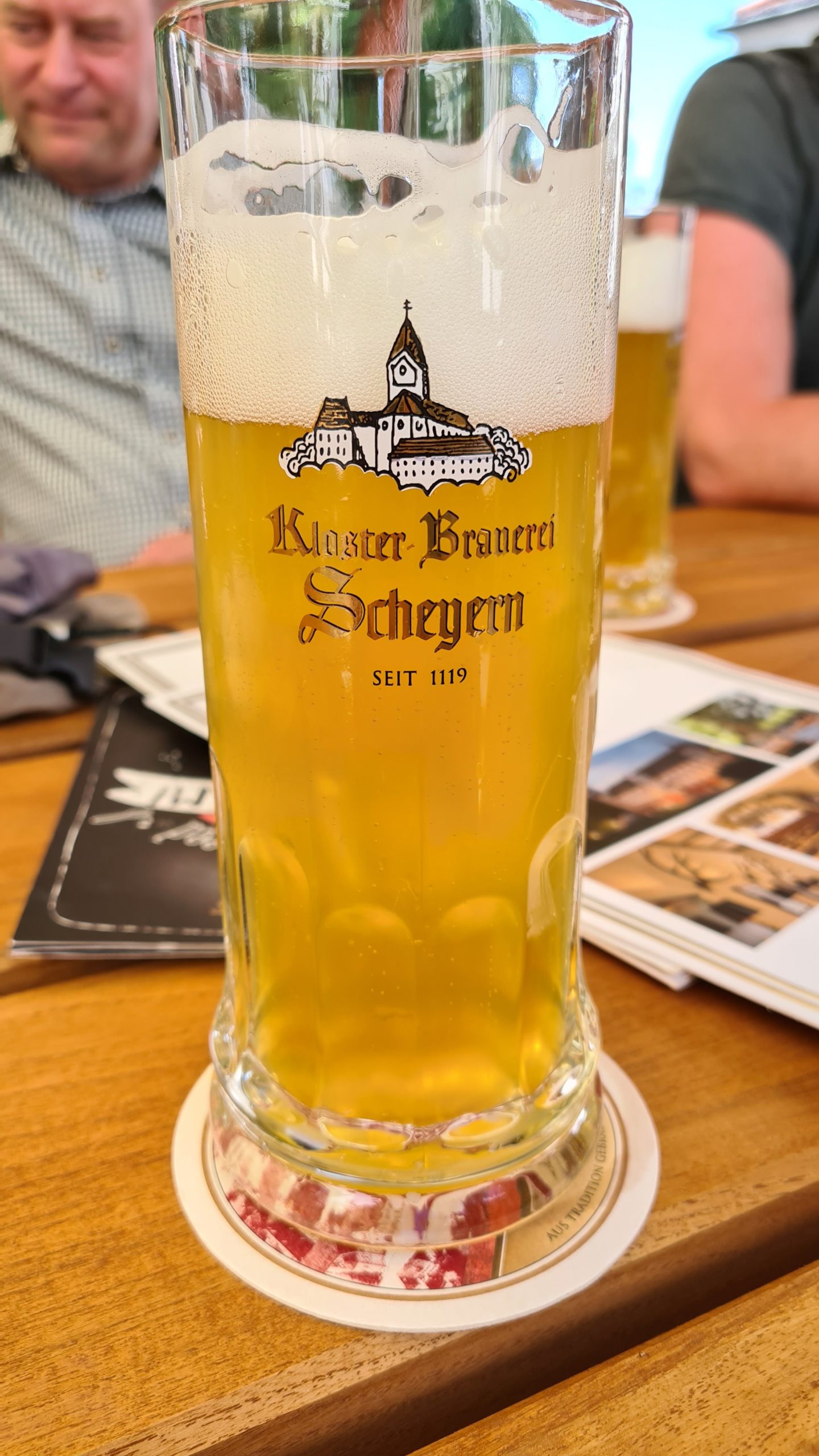
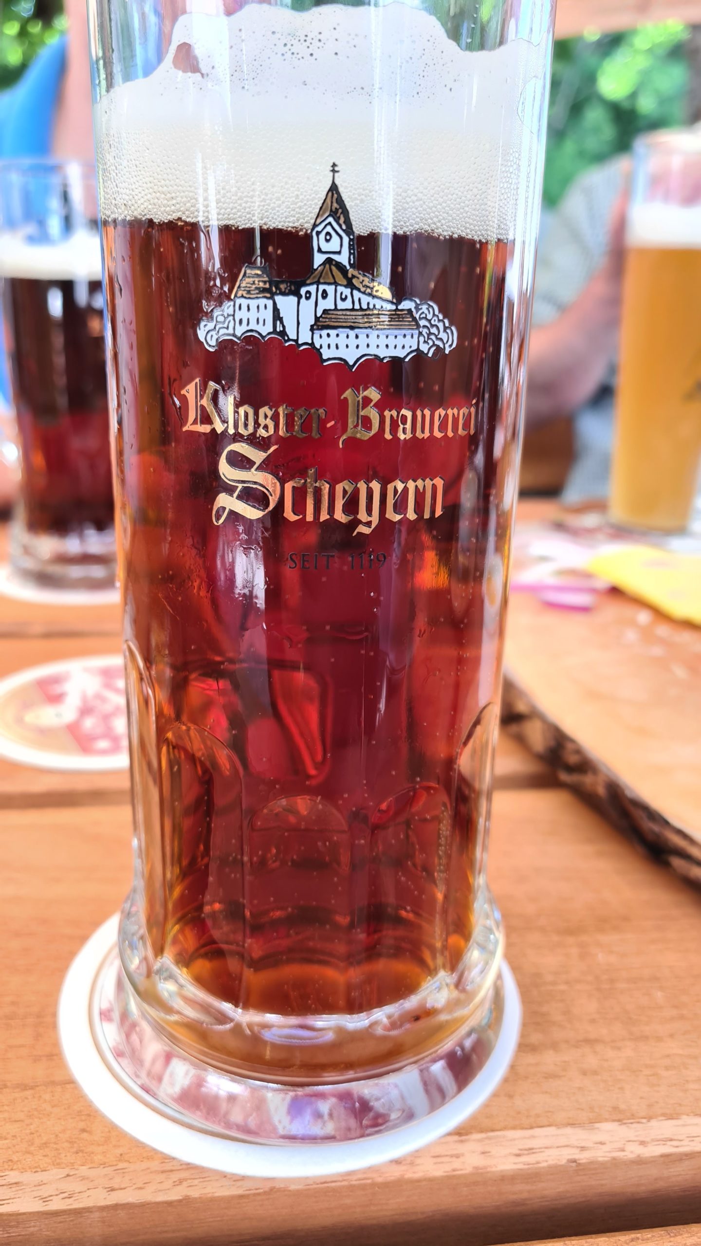
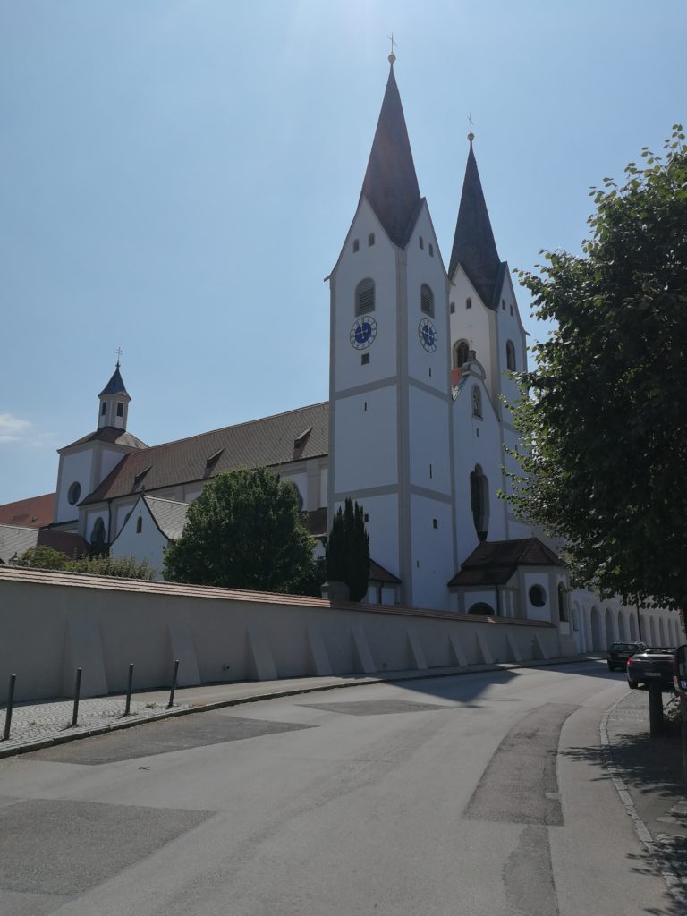
Nach Kloster Altomünster nun das Augustinerchorherrenkloster Indersdorf.
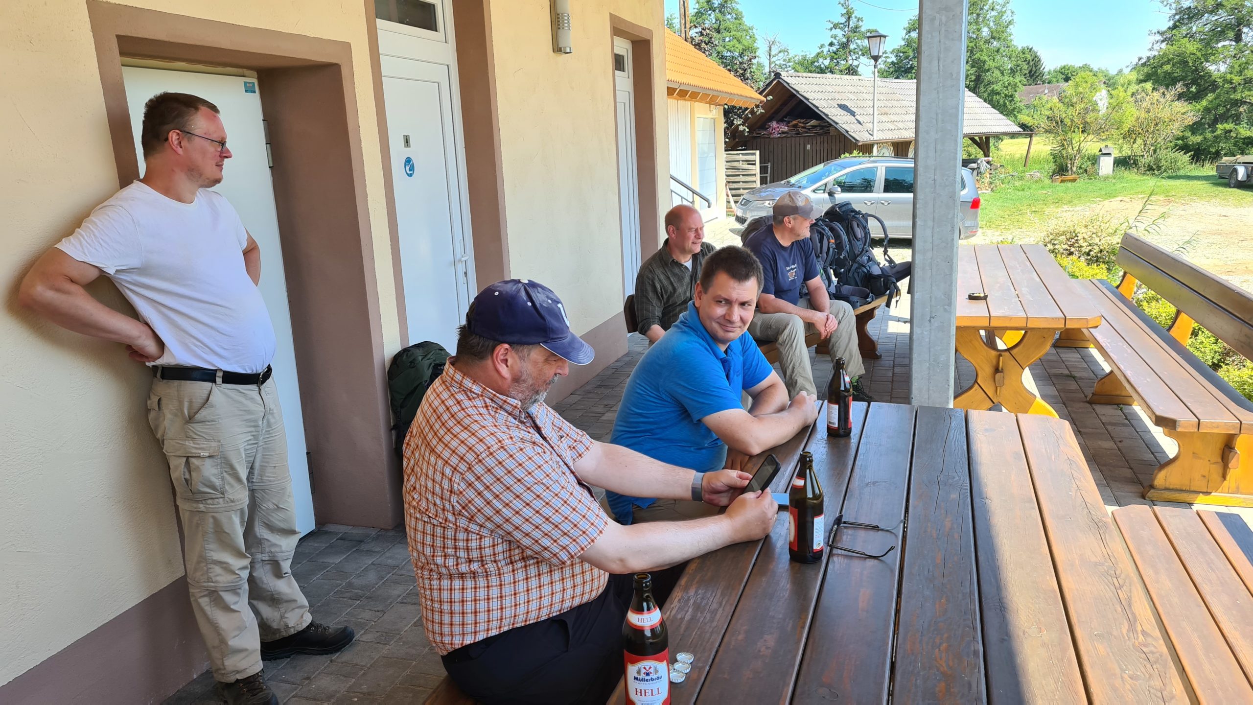
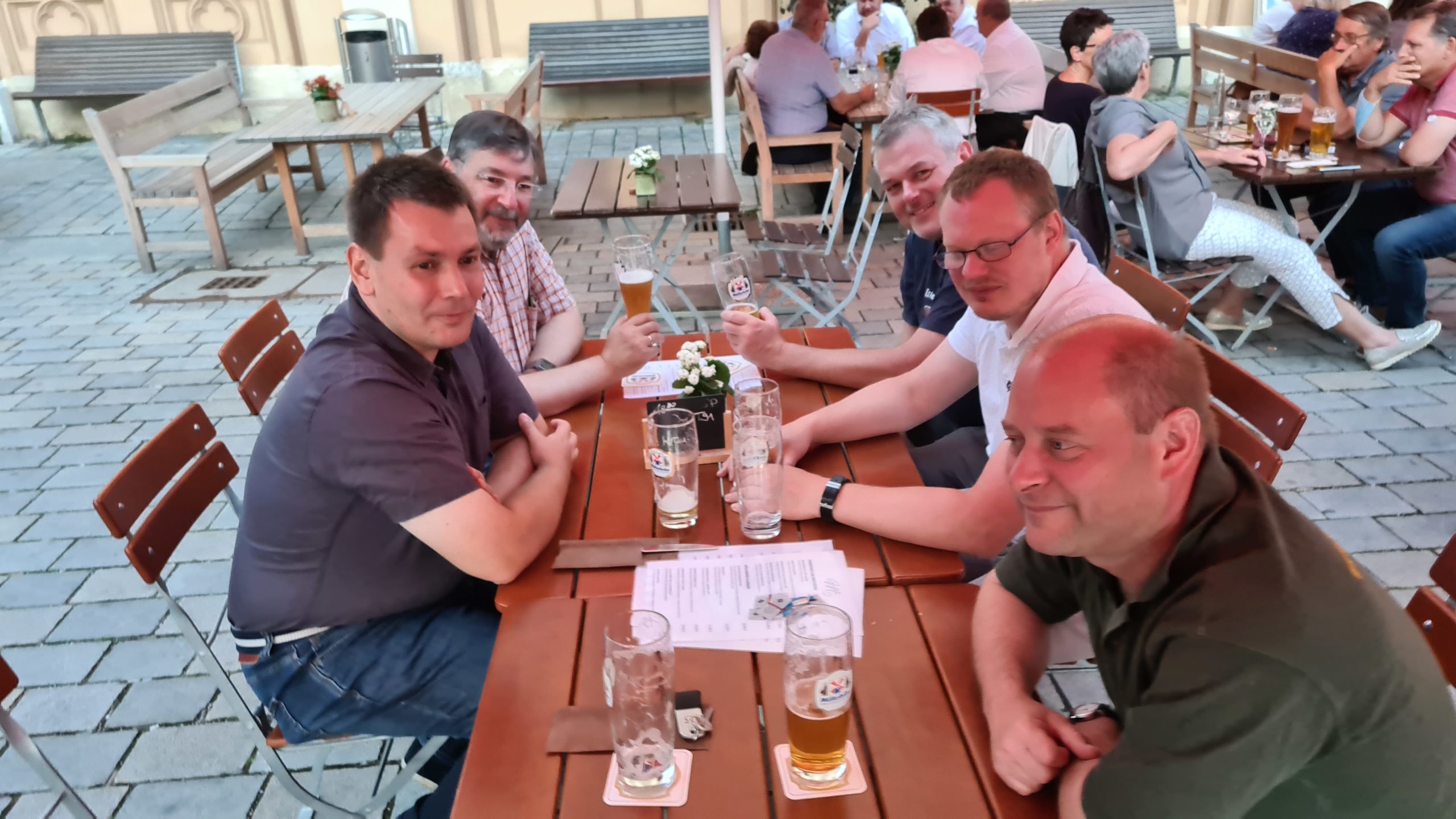
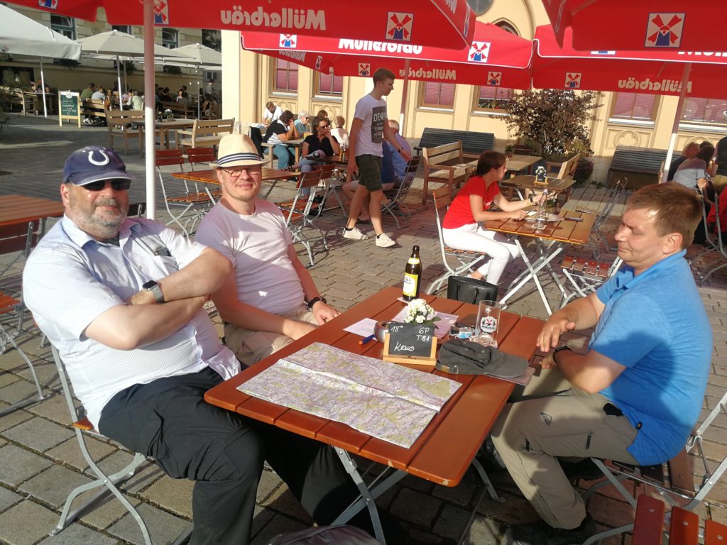
Mit einem Rucksack ausgerüstet schmeckt das Bier gleich doppelt so gut.
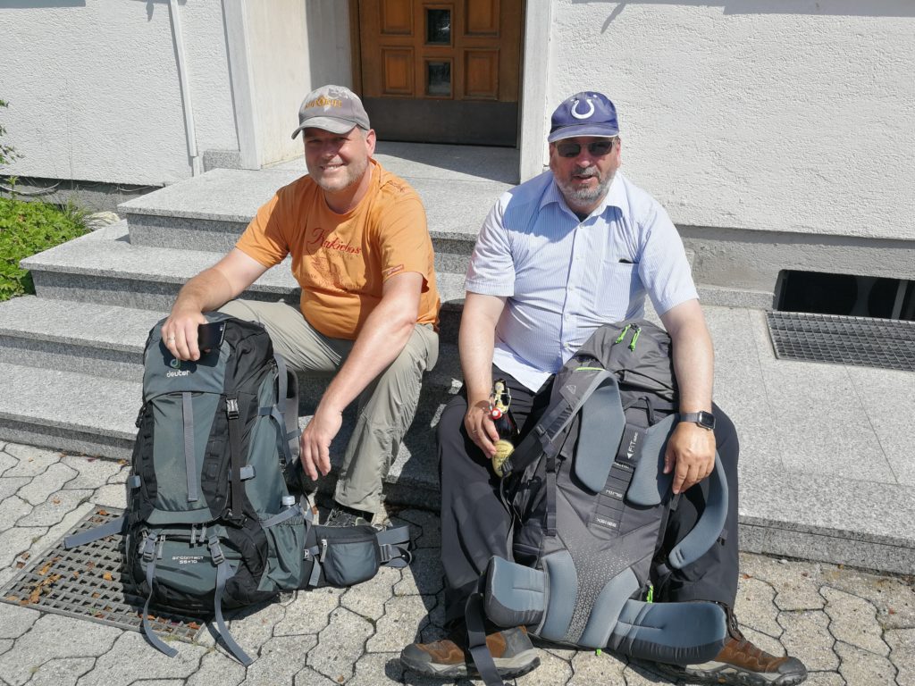
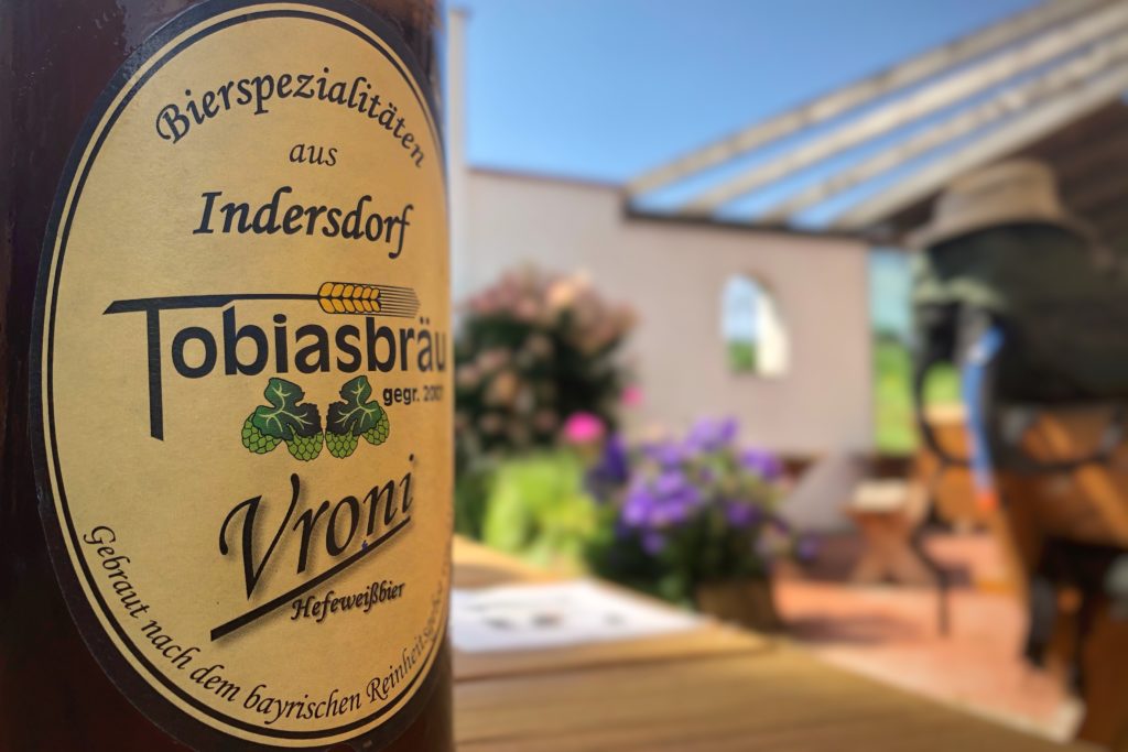
Das Tobiasbräu aus Markt Indersdorf ist ein süffiges, leicht herbes Weizen.