Sie kennen ihn bis Markt Indersdorf.
Bier und wo es herkommt
Sie kennen ihn bis Markt Indersdorf.
Map of the route “Tour vom 21.07.2020”: 14.479 m, 288 m of climbing and 234 m of descent, elevation between 457 m and 529 m, time 05:41:17. It starts at 48.45704, 11.15542 and ends at 48.38734, 11.25753 (latitude, longitude).
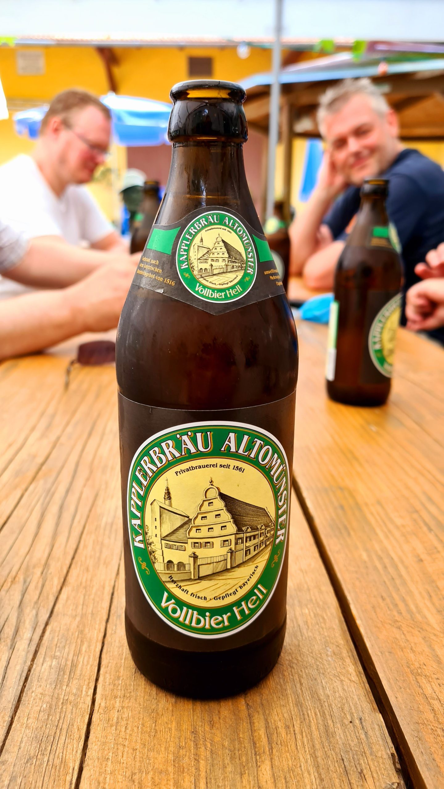
Frisches naturtrübes Helles vom Kapplerbräu
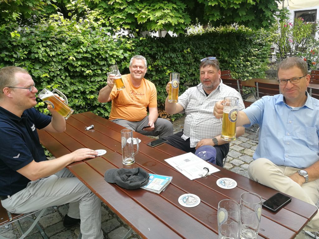
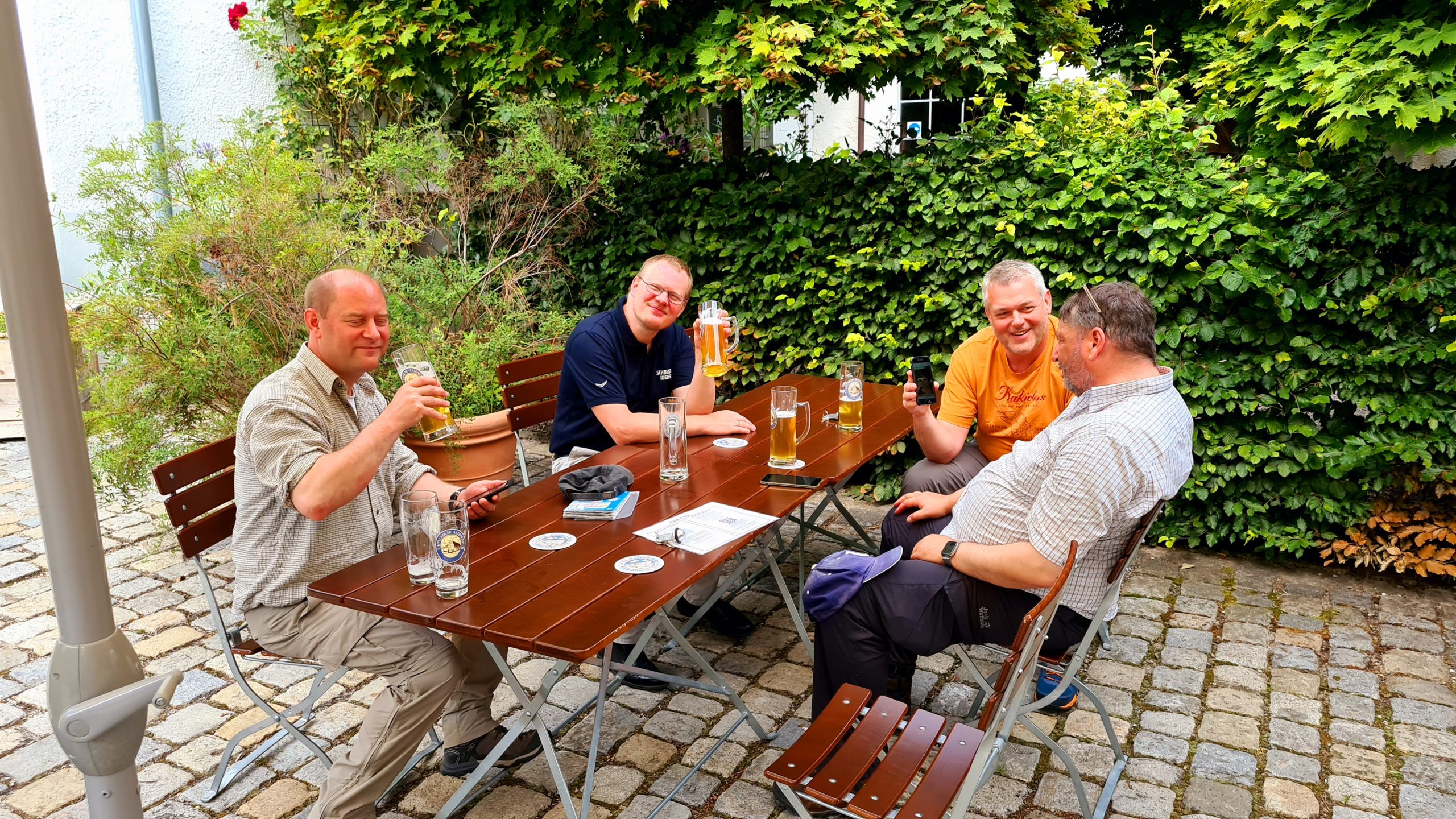
wetterbedingter Stellungswechsel
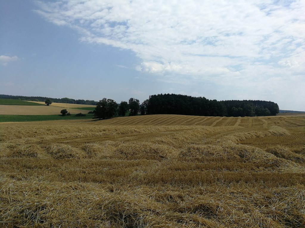
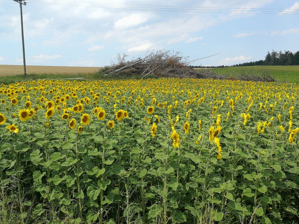
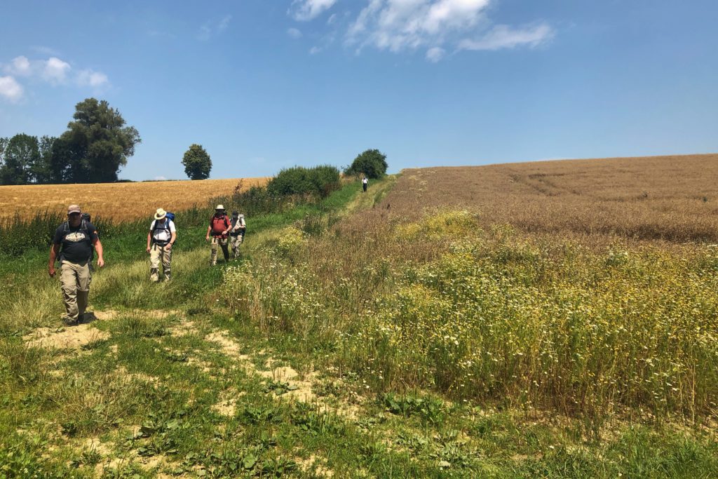
Das Schützenheim hatte heute fast geöffnet.
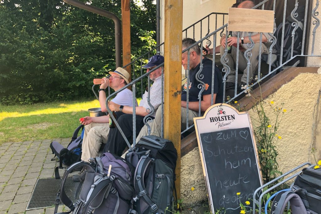
Die Ersten verzichteten auch schon auf ein Bier, damit die Durstigen was bekommen 🍻
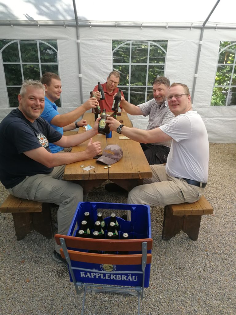
Trotz Ruhetag gibt uns der Wirt eine Kiste Helles

Heute Abend haben wir im Hotel Wagner in Aichach Verstärkung bekommen.
Der Biergarten hat nur am Wochenende geöffnet, daher gibt es nur ein schnelles Foto mit Märchenschloss und Kapelle.

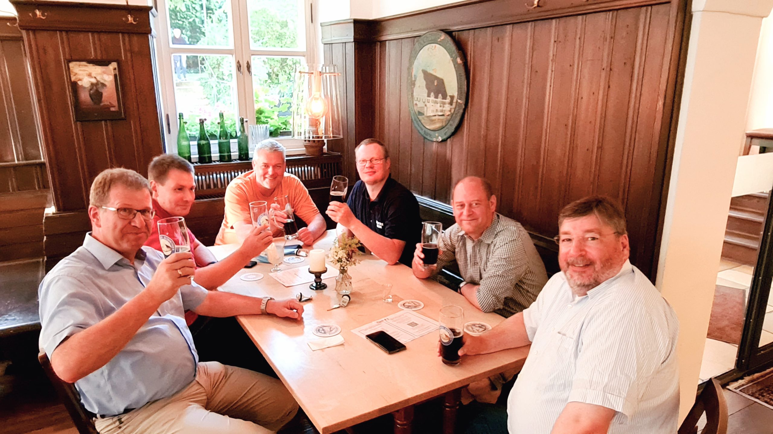
Die Stimmung seit der letzten Rast entwickelte sich prima. Nach kurzer Lageänderung kehren wir zur nächsten Rast ein. Diesmal mit süffigem Dunklen Radler und Kühbacher Festbier.
