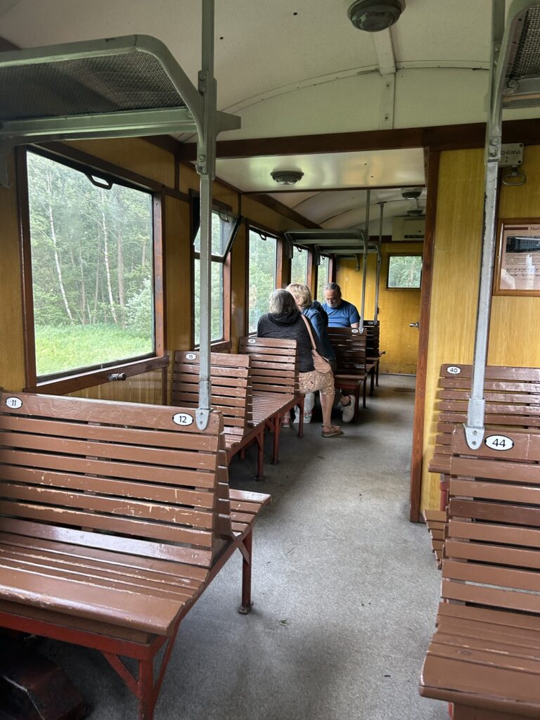
Bahnfahren wie in vergangenen Tagen.
Bier und wo es herkommt
Bahnfahren wie in vergangenen Tagen.
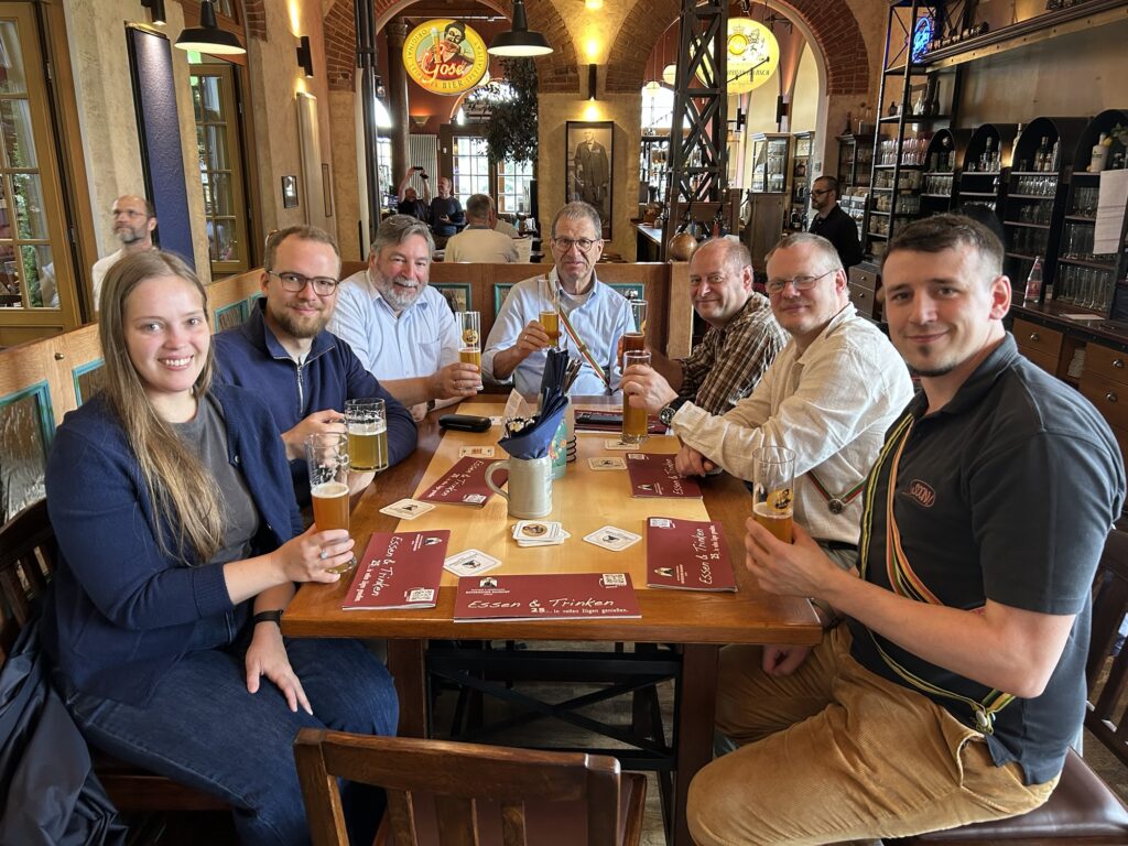
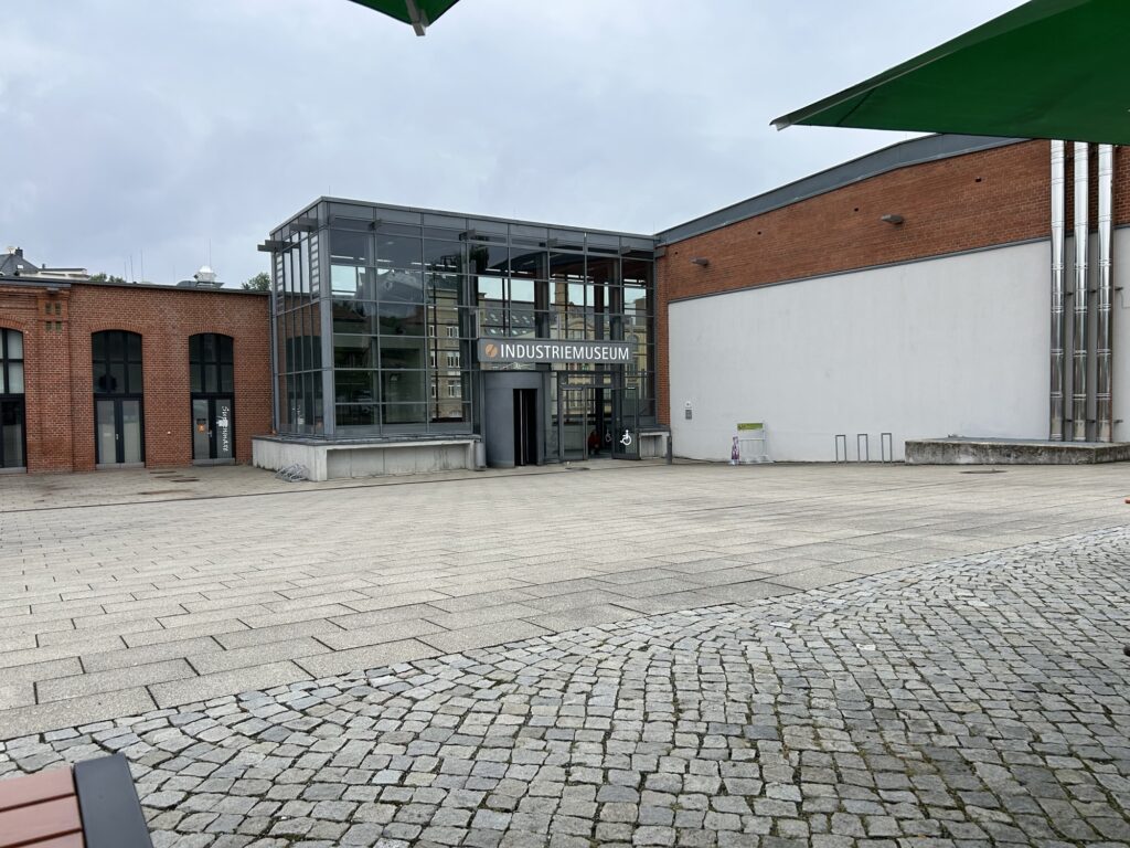
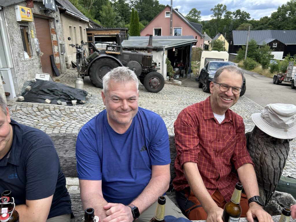
Nach einem anstrengenden Besuch des Industriemuseums stärken wir uns.
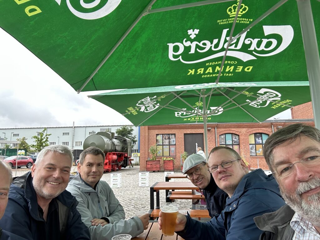
André, eine gute Seele, versorgt uns im ansonsten vollständig geschlossenen Tannenberg mit einem Bier.🍺
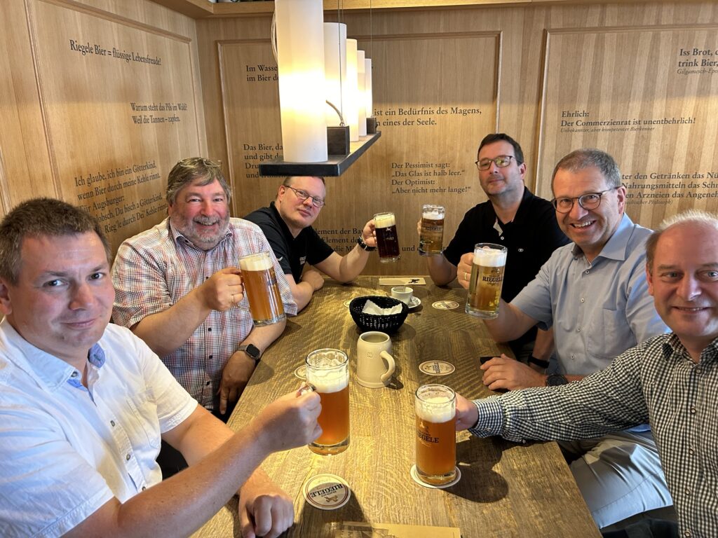
Auf der Rüchfahrt überbrücken wir die Wartezeit in Augsburg im Riegele, wo wir Robert Temme treffen.
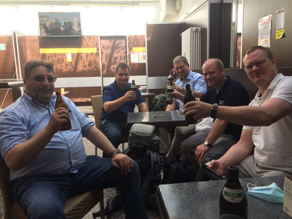
Nachdem wir am Morgen im Hotel schon den „Begrüßungsschluck“ hatten, ist das die erste Rast des Tages.

Map of the route “Tour vom 23.07.2020”: 12.459 m, 66 m of climbing and 95 m of descent, elevation between 396 m and 429 m, time 05:08:24. It starts at 48.52939, 11.50853 and ends at 48.60623, 11.57365 (latitude, longitude).
Map of the route “Tour vom 22.07.2020”: 12.837 m, 174 m of climbing and 198 m of descent, elevation between 427 m and 500 m, time 05:26:35. It starts at 48.47548, 11.50980 and ends at 48.52973, 11.50845 (latitude, longitude).
Map of the route “Tour vom 21.07.2020”: 14.479 m, 288 m of climbing and 234 m of descent, elevation between 457 m and 529 m, time 05:41:17. It starts at 48.45704, 11.15542 and ends at 48.38734, 11.25753 (latitude, longitude).