Da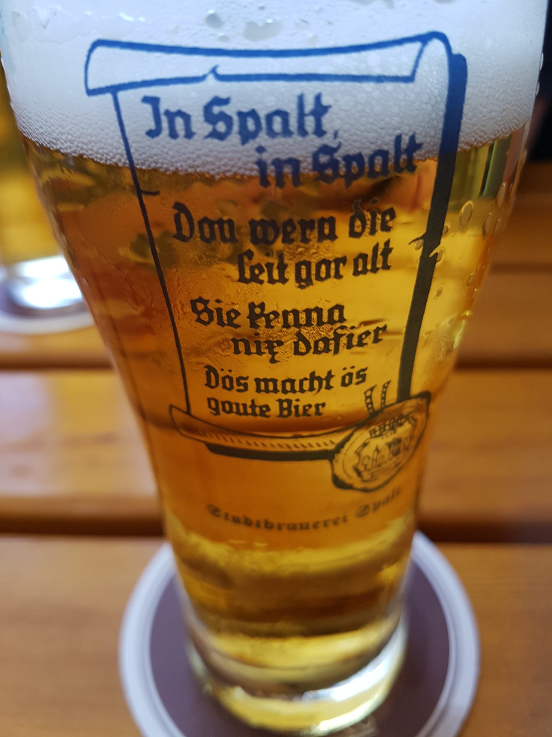 s gute Spalter Pils. Die Rückseite des Glases.
Kategorie: Allgemein
o‘ zapft is
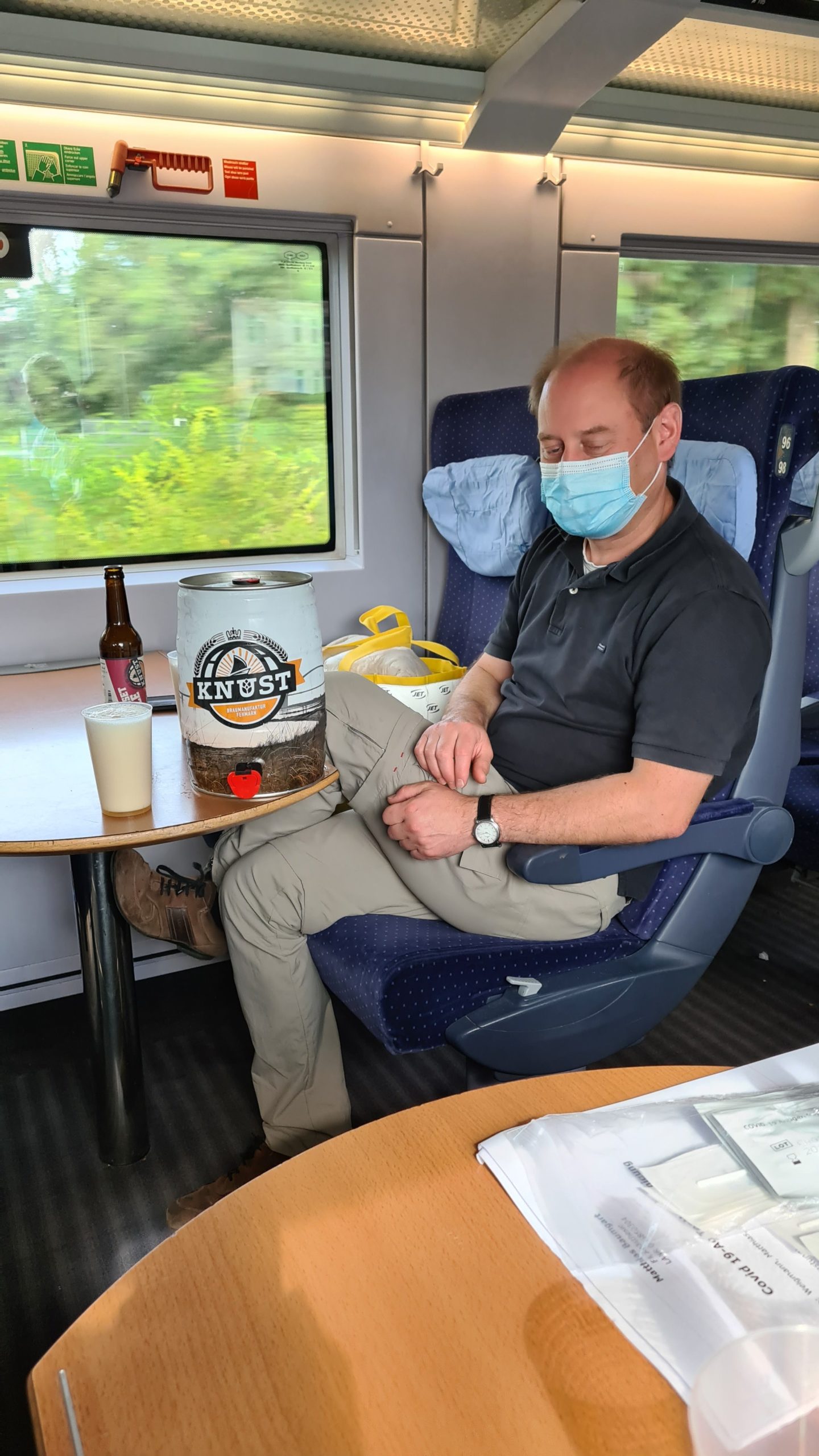
Los geht’s!
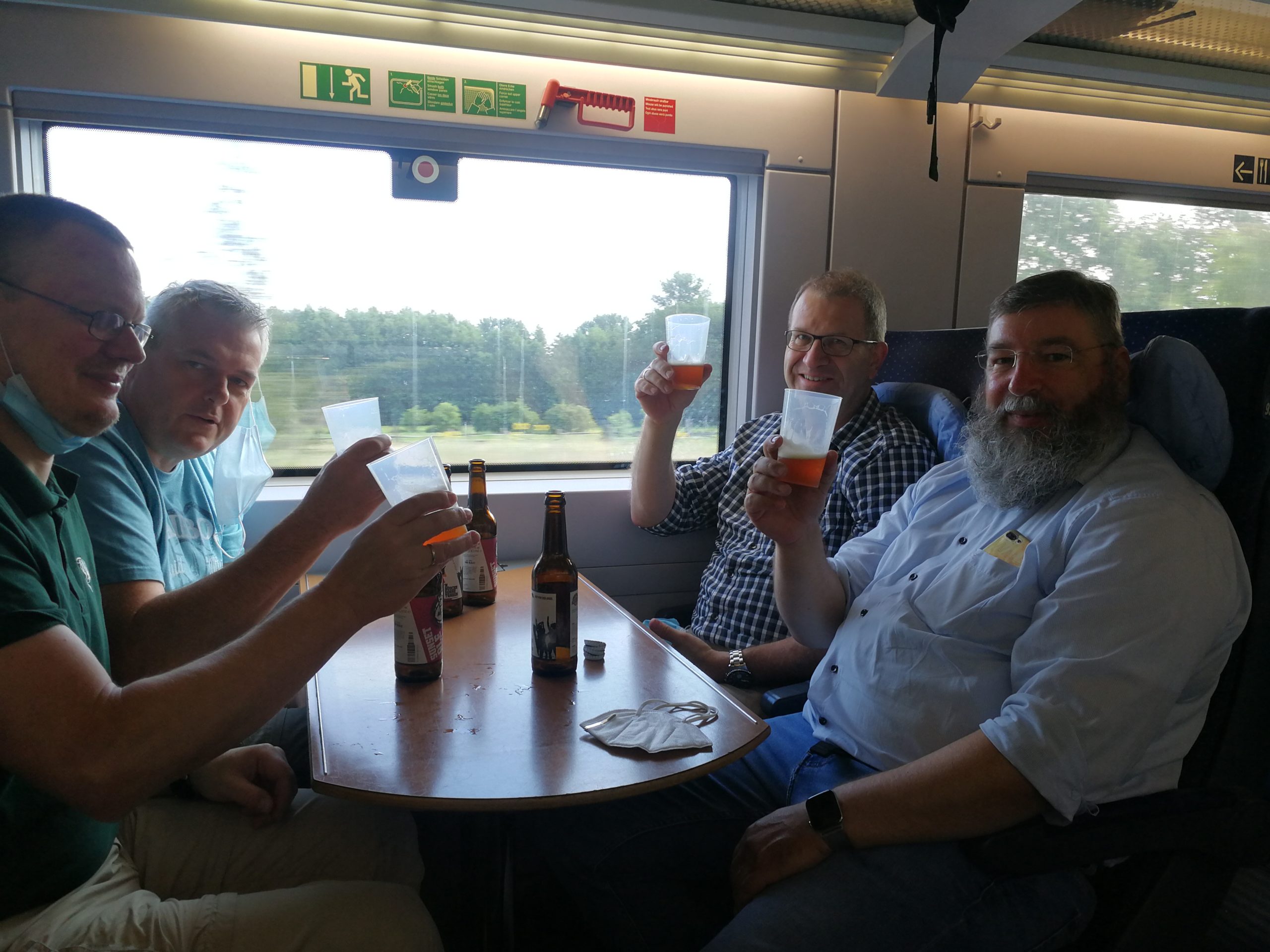
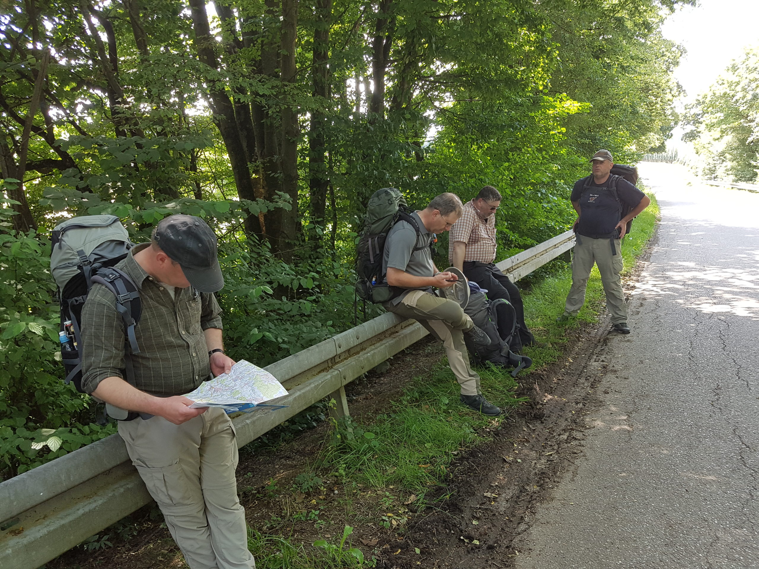
Fünf Männer allein im Wald
nein, wir sind nicht nur an Bundesstraßen gelaufen.
Abschied von Ingolstadt
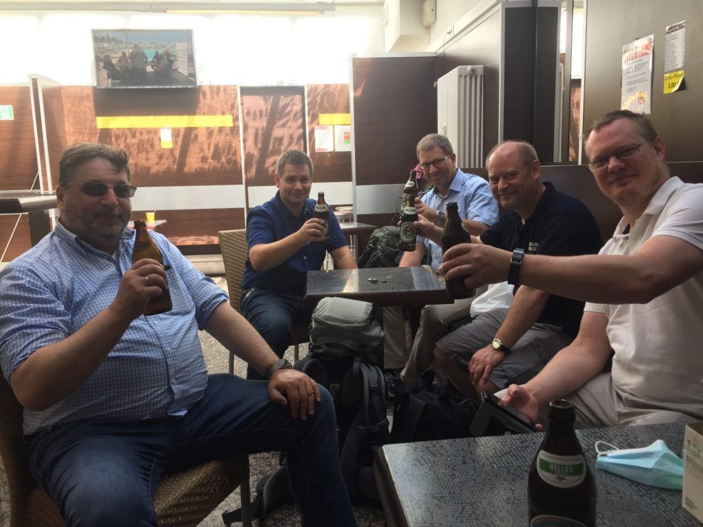
Tour vom 23.07.2020
Map of the route “Tour vom 23.07.2020”: 12.459 m, 66 m of climbing and 95 m of descent, elevation between 396 m and 429 m, time 05:08:24. It starts at 48.52939, 11.50853 and ends at 48.60623, 11.57365 (latitude, longitude).
Gesamtstrecke: 12474 m
Maximale Höhe: 429 m
Minimale Höhe: 396 m
Gesamtanstieg: 66 m
Gesamtabstieg: 95 m
Gesamtzeit: 05:09:24
Maximale Höhe: 429 m
Minimale Höhe: 396 m
Gesamtanstieg: 66 m
Gesamtabstieg: 95 m
Gesamtzeit: 05:09:24
Abschlussabend in Ingolstadt
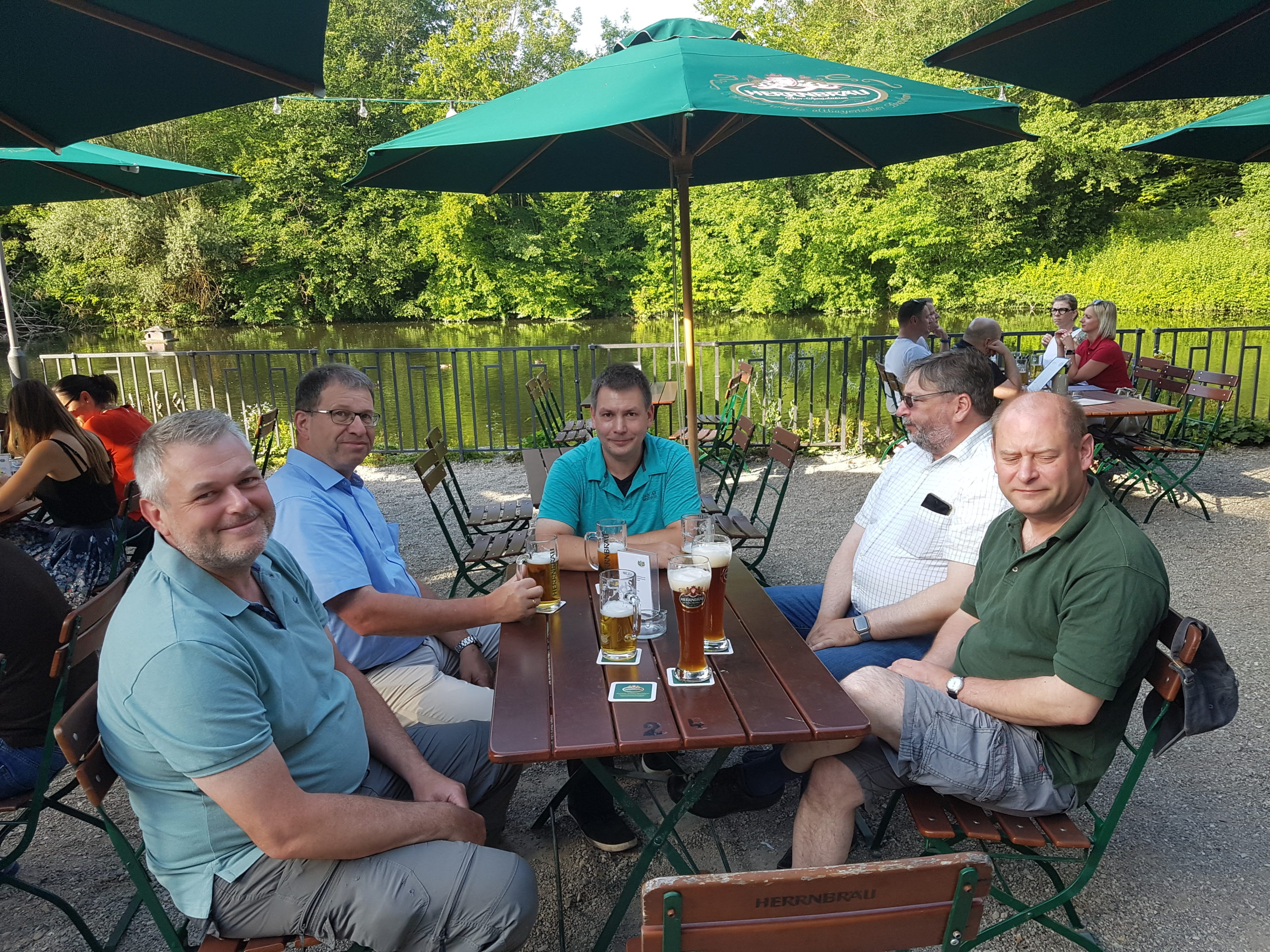
 Ausklang der Tour im Künettegraben.
Im
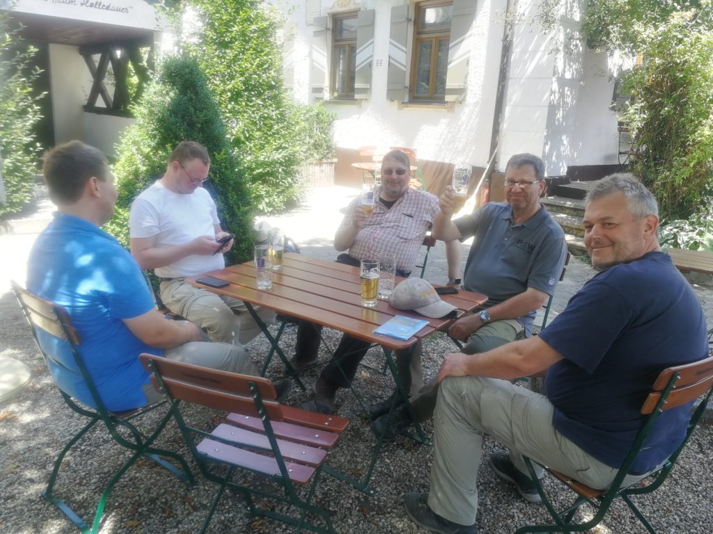
Mittagsrast
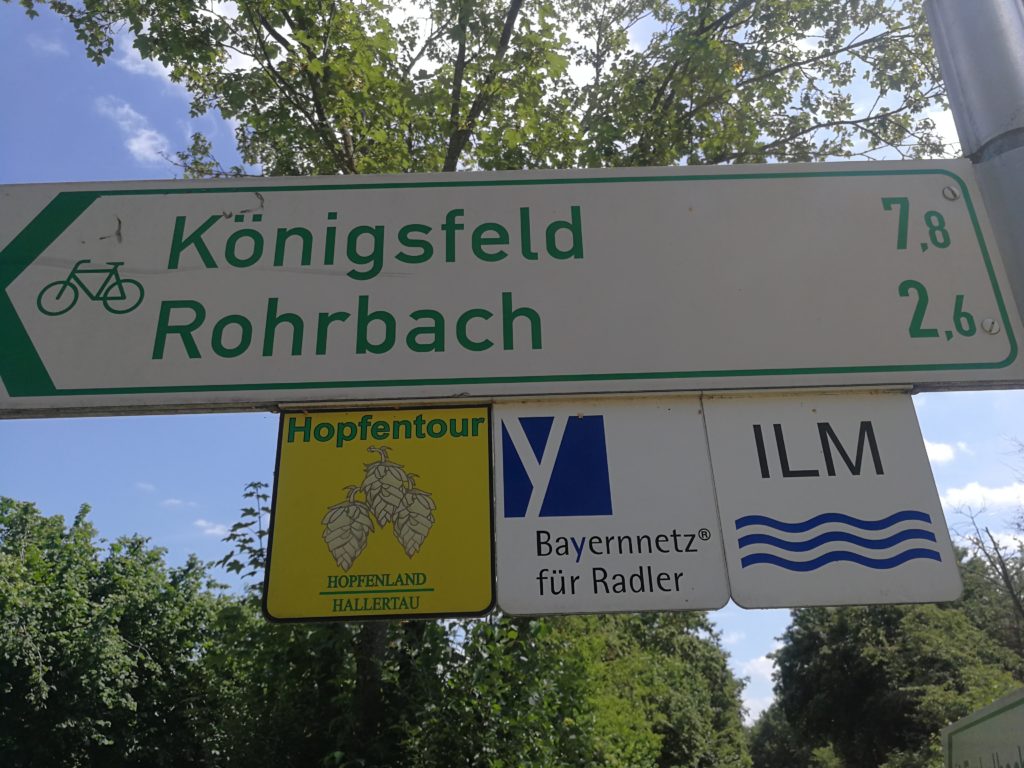
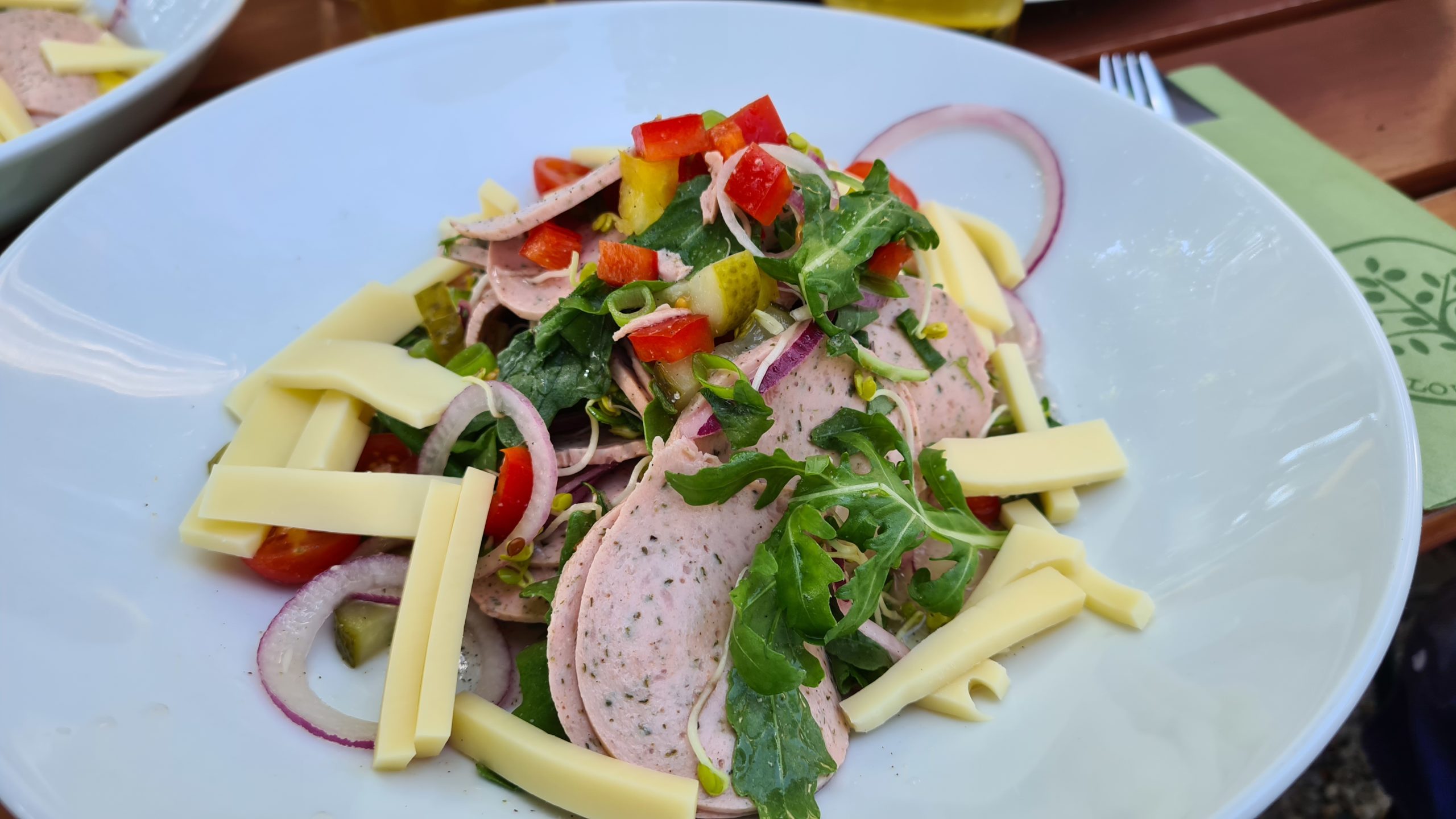
In Rohrbach als letzter Station gibt es den altbewährten Schweizer Wurstsalat.
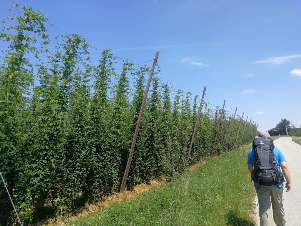
Durch die Hallertau
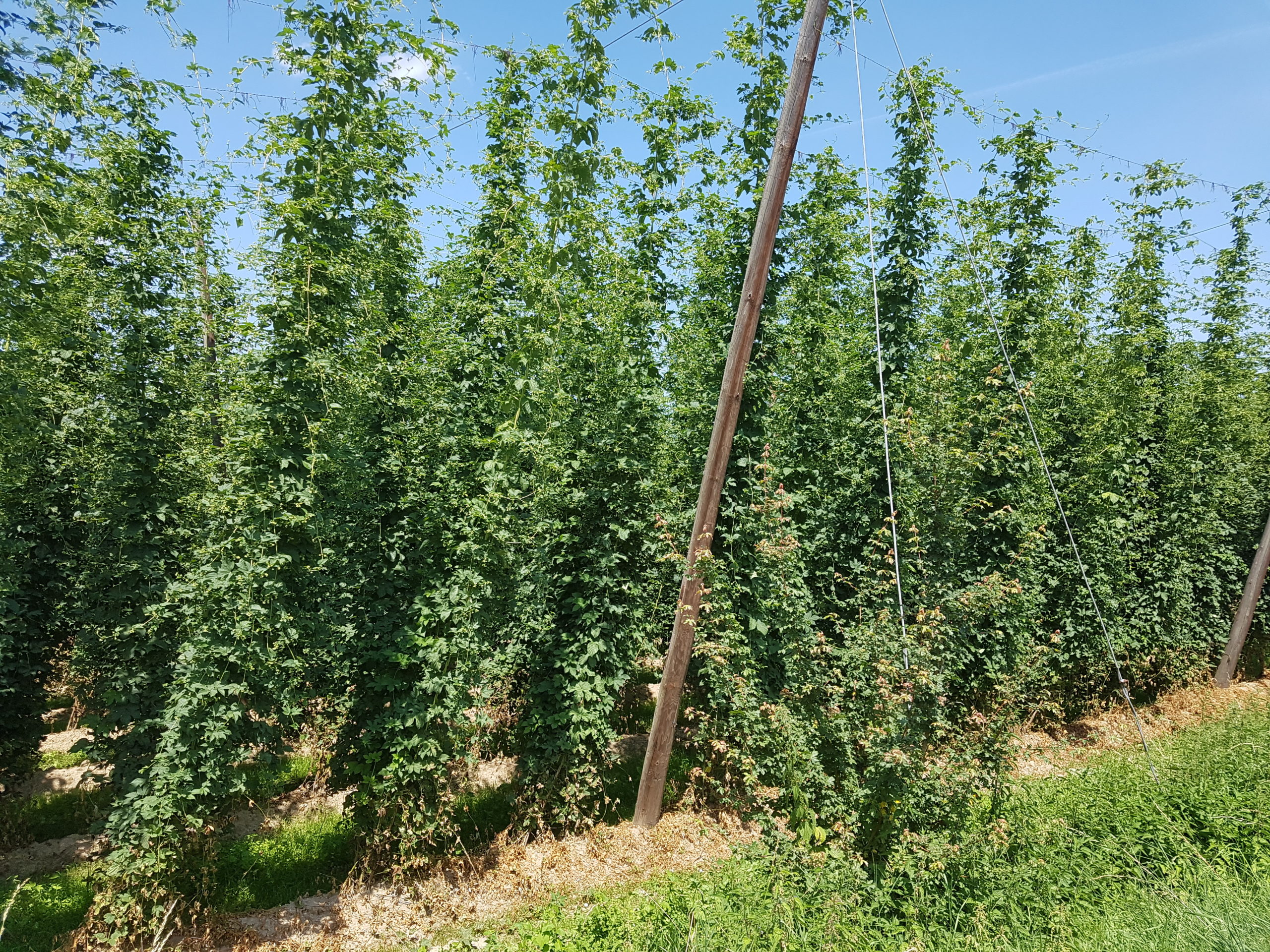
 Durch die Hallertau auf dem Weg nach Ingolstadt
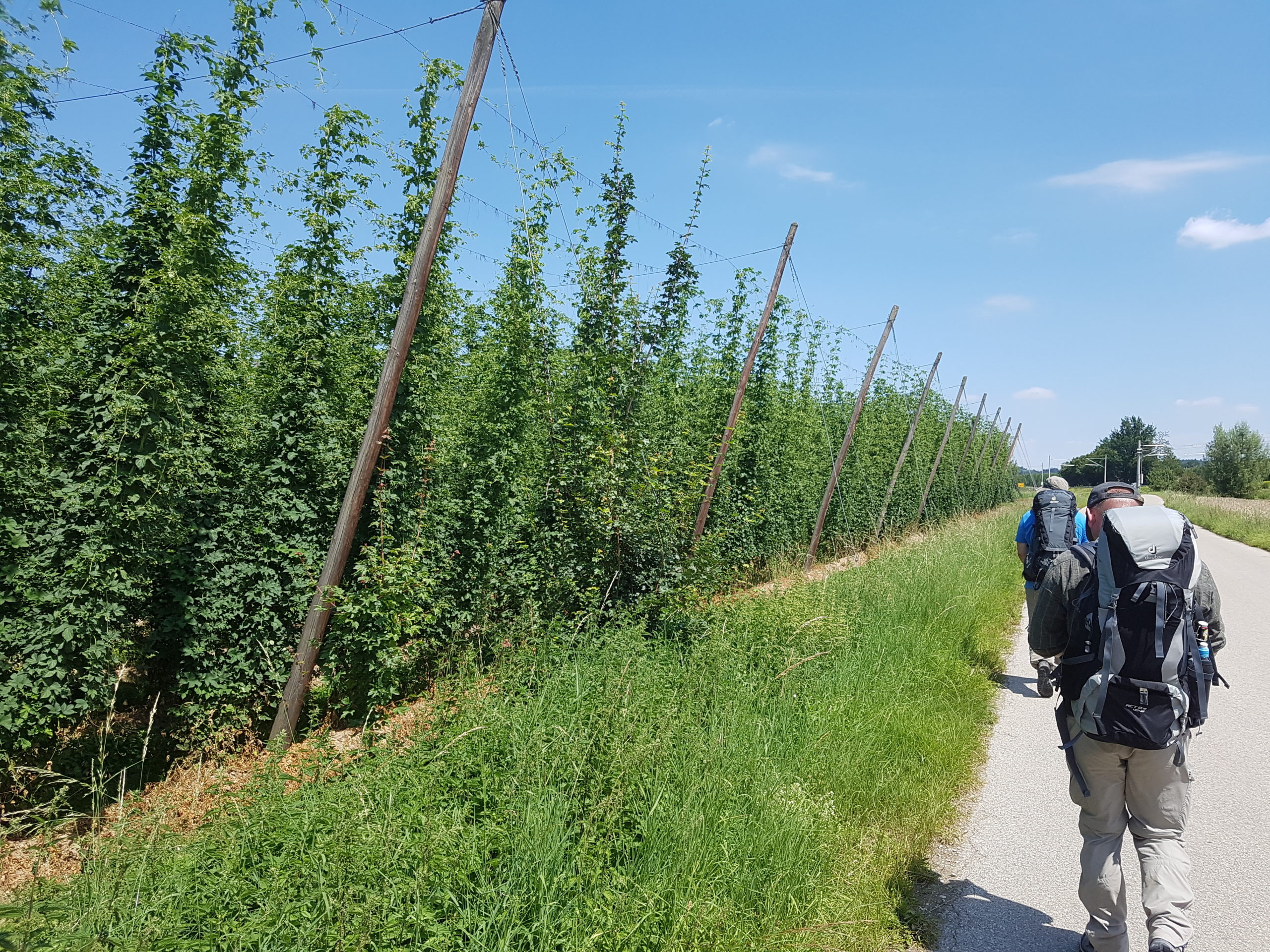
Und wieder Hopfengärten