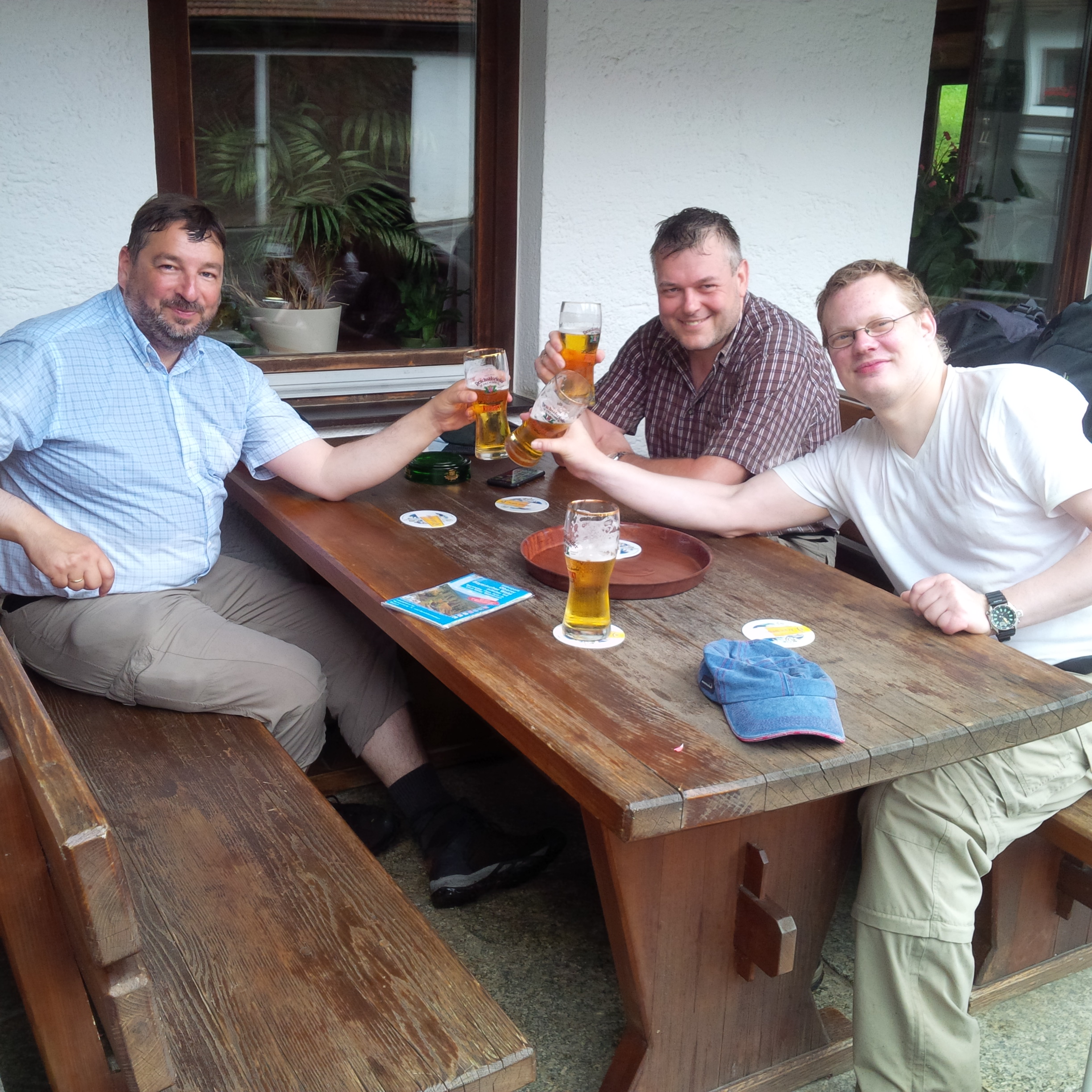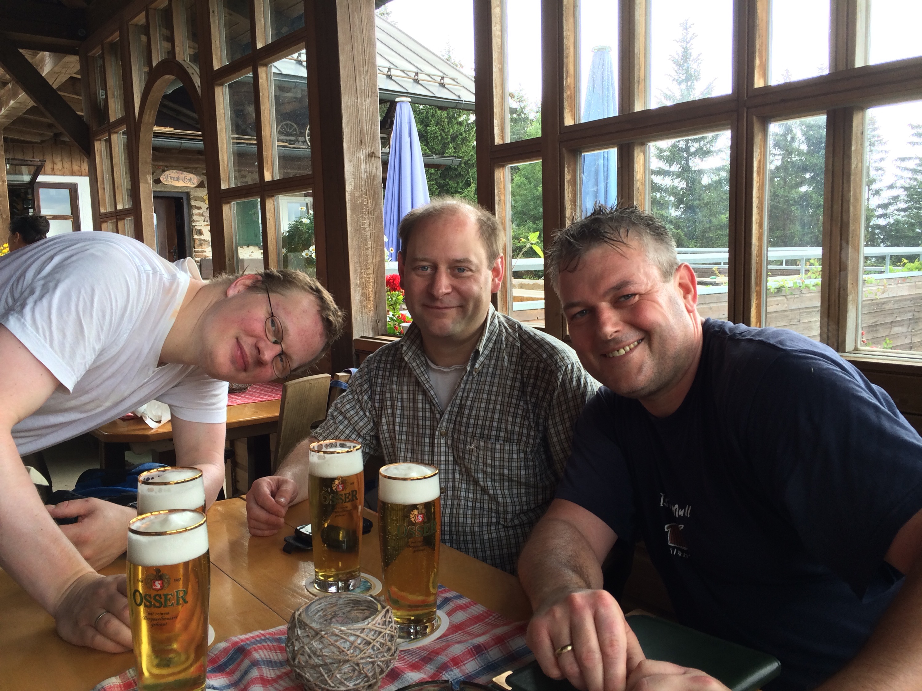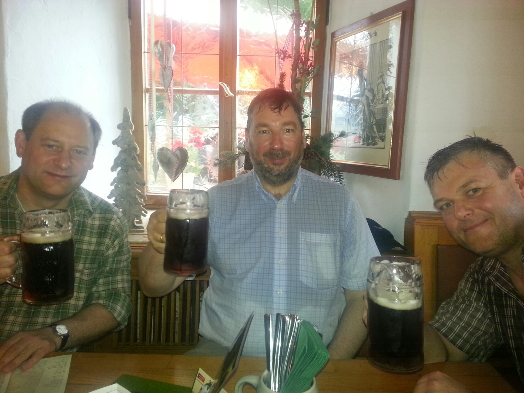
Brauerei Eck in Böbrach
Bier und wo es herkommt
Brauerei Eck in Böbrach

Brauerei Eck in Böbrach
Map of the route “Route vom 13.07.2015”: 23.669 m, 1.118 m of climbing and 1.008 m of descent, elevation between 399 m and 1.115 m, time 08:51:30. It starts at 49.17486, 12.85646 and ends at 49.10509, 13.01334 (latitude, longitude).
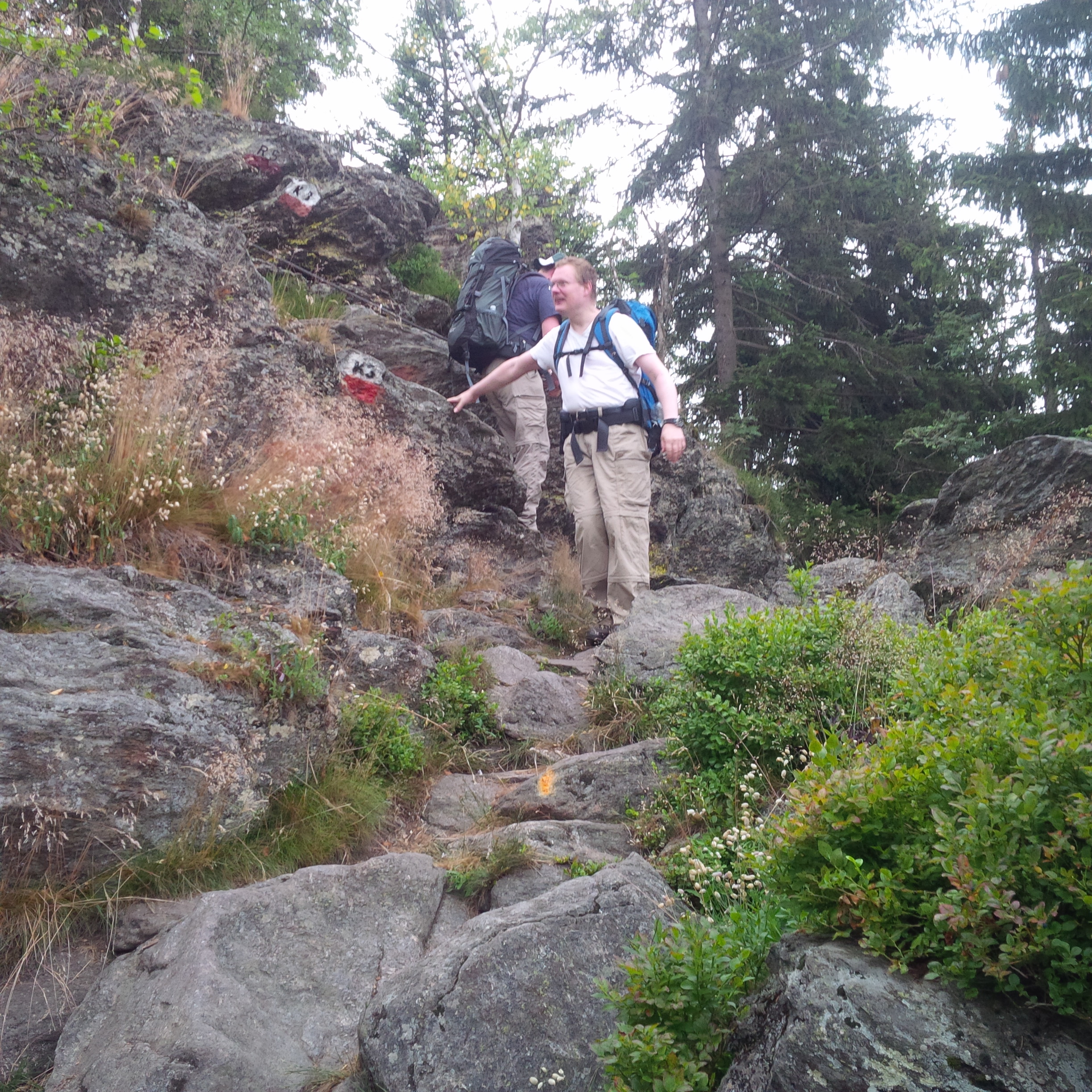

Map of the route “Route vom 12.07.2015”: 23.928 m, 601 m of climbing and 566 m of descent, elevation between 366 m and 723 m, time 07:45:59. It starts at 49.22160, 12.65952 and ends at 49.17485, 12.85641 (latitude, longitude).