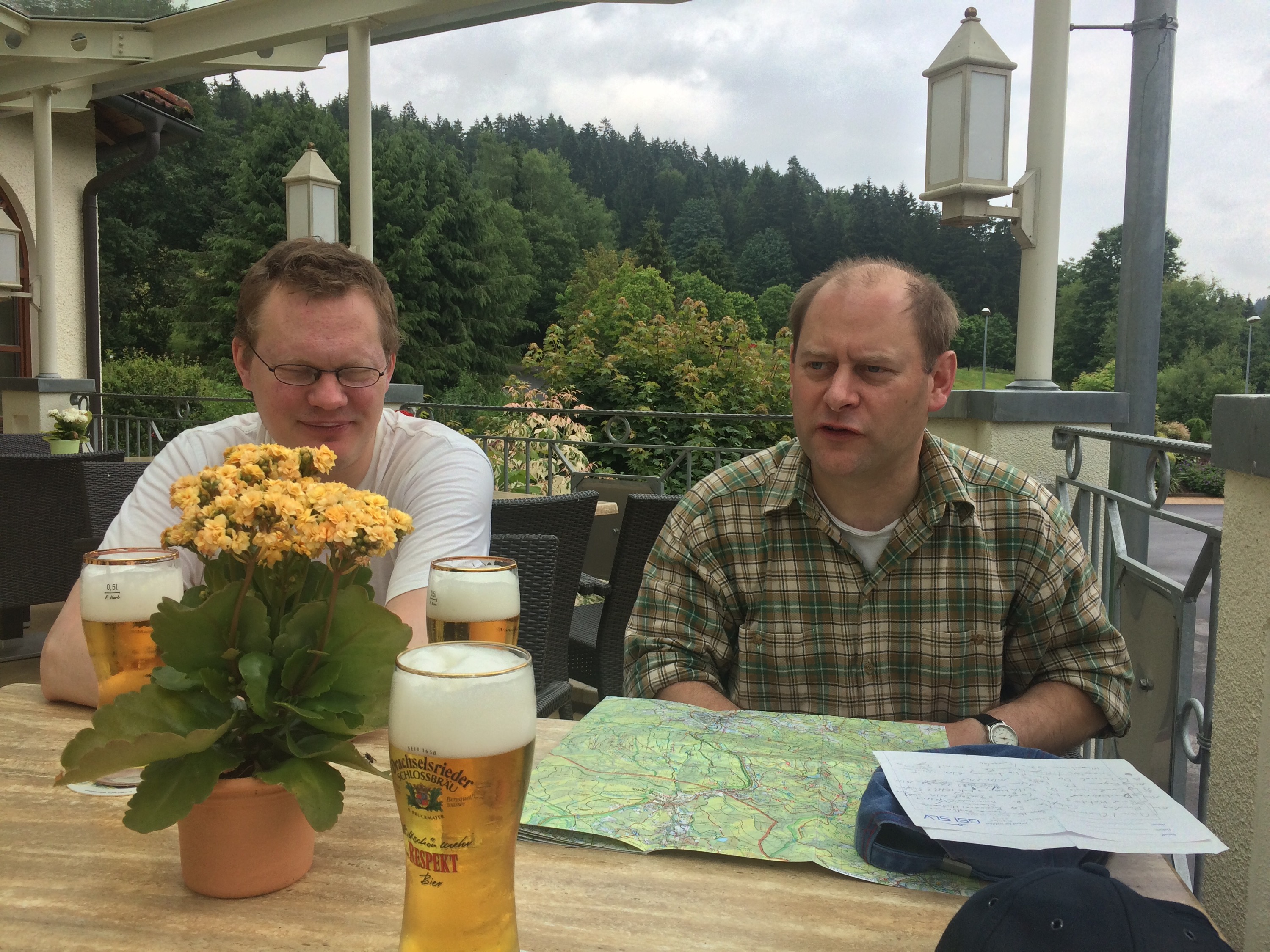
Zwischenstop in Kohlnberg
Bier und wo es herkommt

Zur Post in Langdorf


Map of the route “Route vom 15.07.2015”: 14.603 m, 488 m of climbing and 624 m of descent, elevation between 526 m and 878 m, time 03:28:52. It starts at 49.06805, 13.10281 and ends at 48.96937, 13.12573 (latitude, longitude).

Brauerei Falter in Regen

Hier seht ihr den Ausstieg

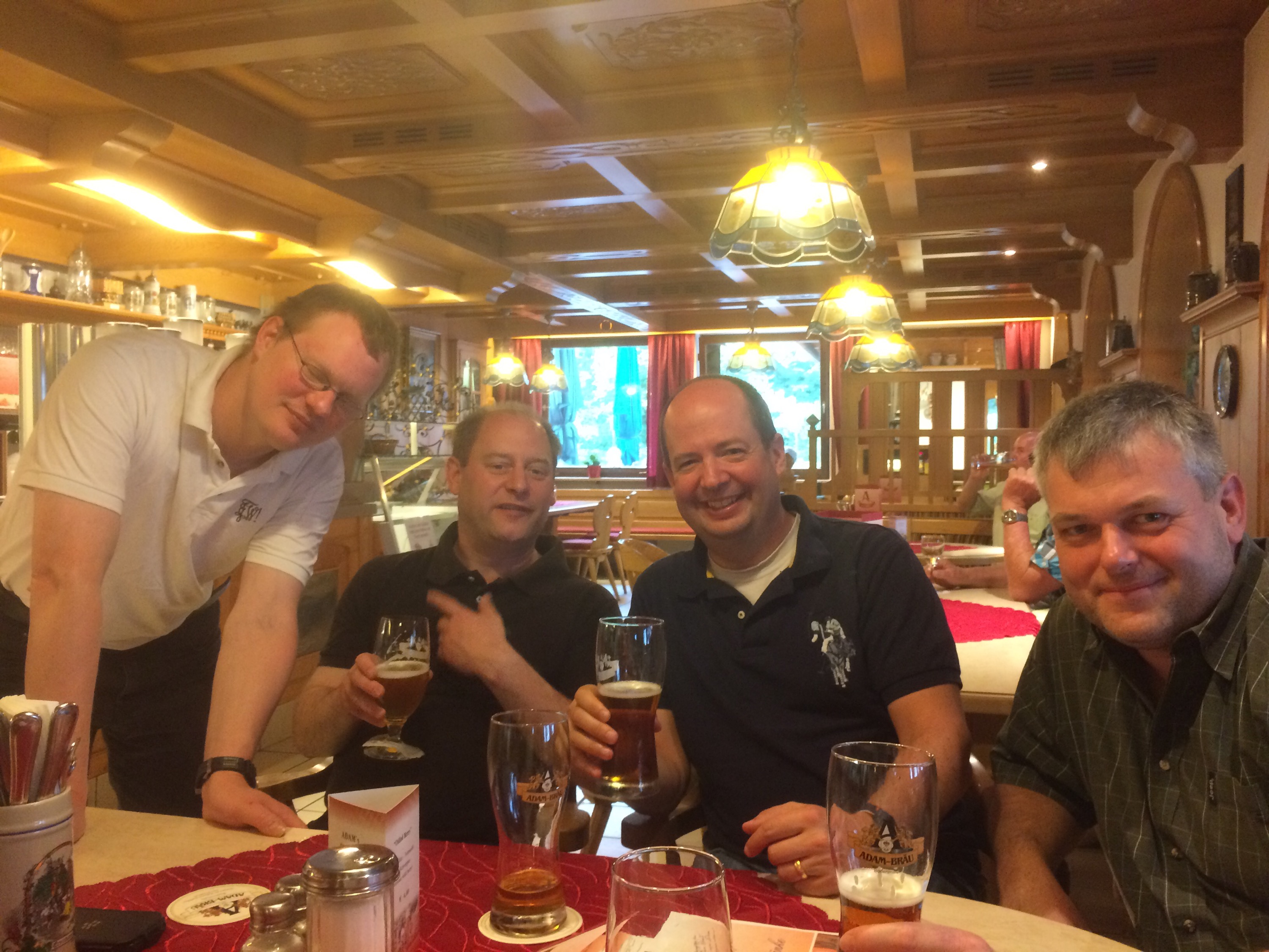
Wanderpraktikant Georg macht morgen ein Schnupperpraktikum bei uns, hier am Vorabend im Adambräu.
Map of the route “Route vom 14.07.2015”: 15.723 m, 659 m of climbing and 519 m of descent, elevation between 508 m and 759 m, time 07:34:56. It starts at 49.10574, 13.01381 and ends at 49.06776, 13.10244 (latitude, longitude).