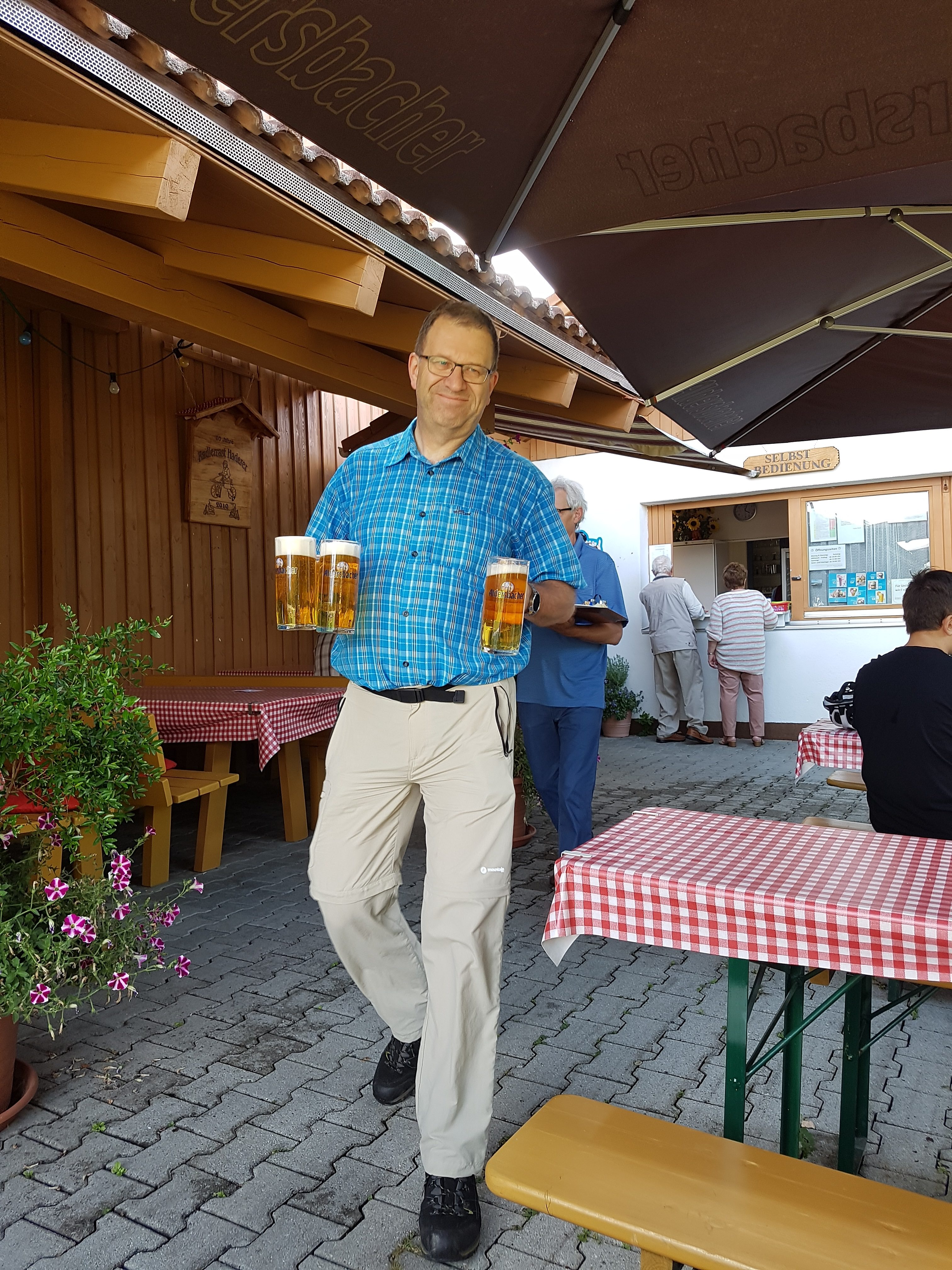
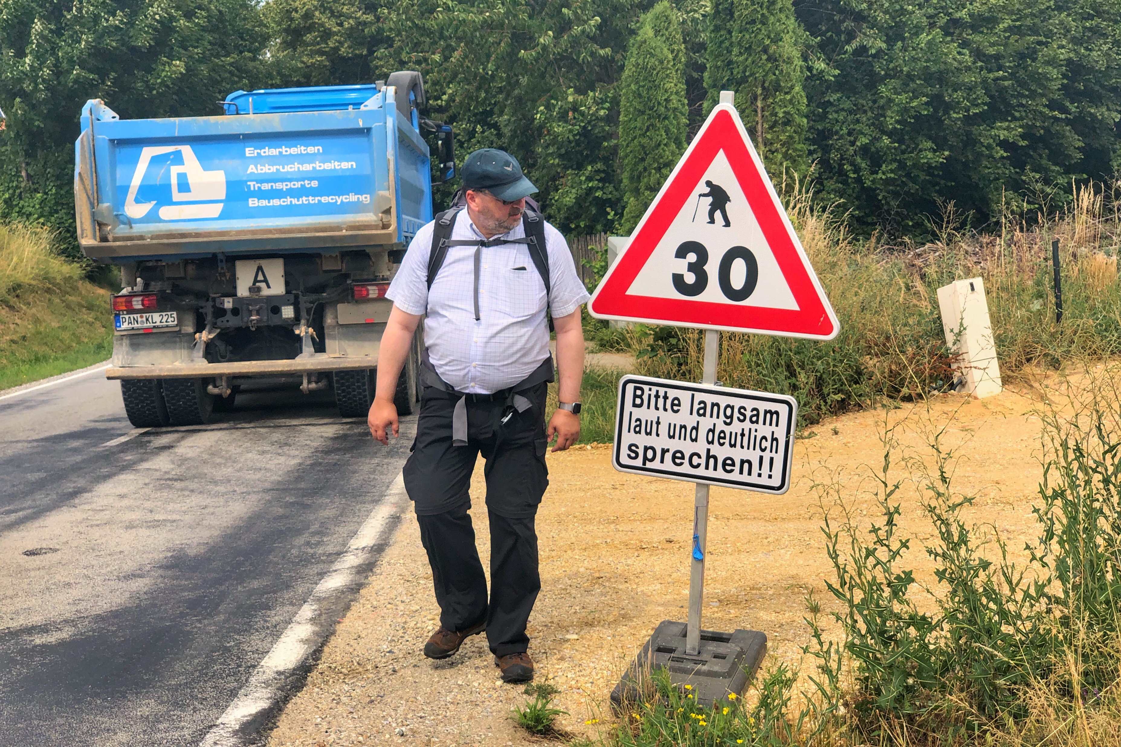
nein, wir sind nicht nur an Bundesstraßen gelaufen.
Bier und wo es herkommt
nein, wir sind nicht nur an Bundesstraßen gelaufen.
Map of the route “Tour des zweiten Tages”: 25.523 m, 486 m of climbing and 451 m of descent, elevation between 406 m and 494 m, time 07:26:59. It starts at 48.56932, 12.73758 and ends at 48.43685, 12.56547 (latitude, longitude).
Gesamtstrecke: 25593 m
Maximale Höhe: 495 m
Minimale Höhe: 406 m
Gesamtanstieg: 486 m
Gesamtabstieg: 451 m
Gesamtzeit: 07:27:15

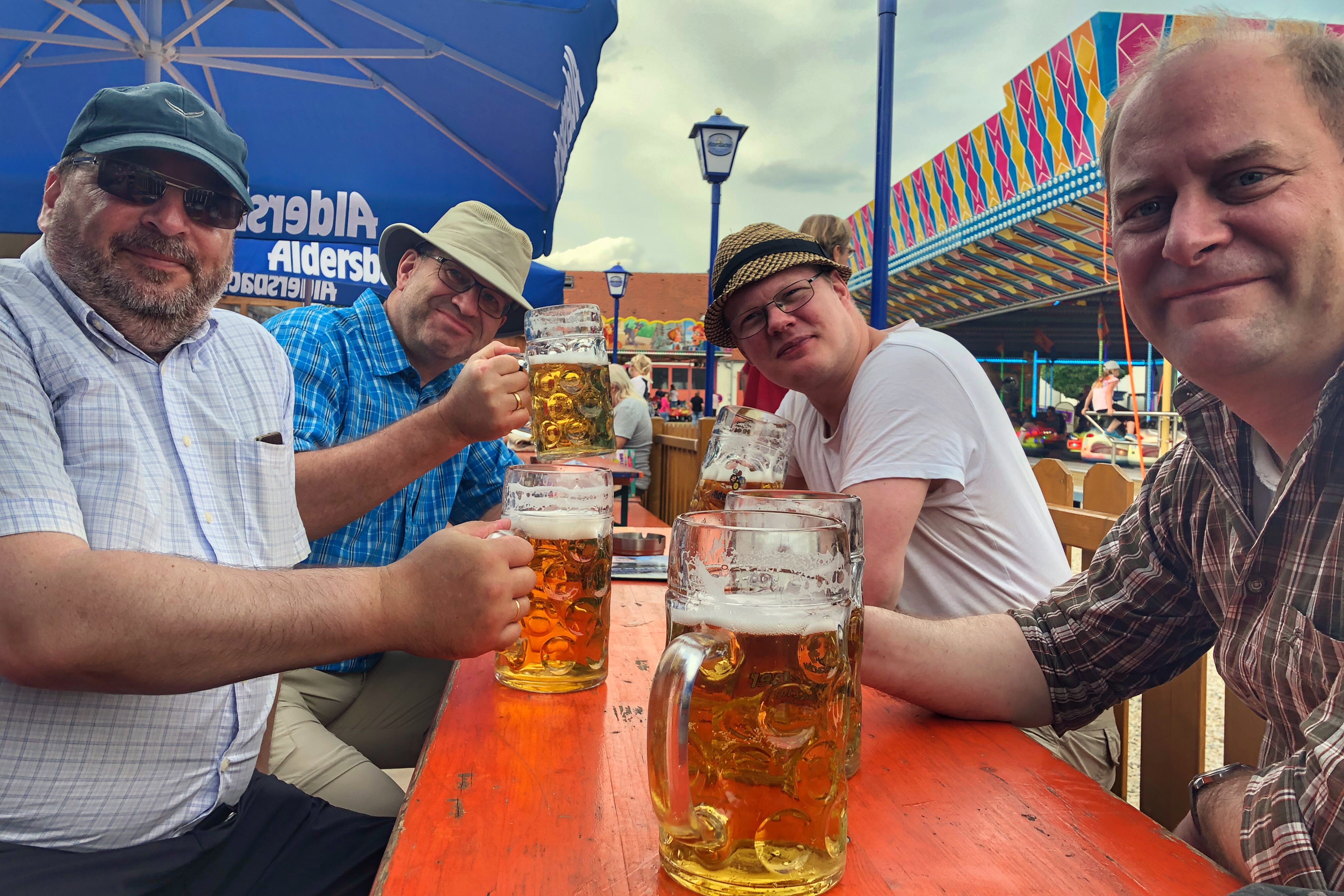
Leberkässemmeln und Bier.

 Wir starten den zweiten Wandertag mit einem leckeren Frühstück (wenn auch ohne Bier) im Gasthof Ertl.
Map of the route “Tour des ersten Tages 2019”: 23.046 m, 322 m of climbing and 346 m of descent, elevation between 373 m and 465 m, time 07:55:52. It starts at 48.66103, 12.70408 and ends at 48.52695, 12.73580 (latitude, longitude).
Gesamtstrecke: 23077 m
Maximale Höhe: 466 m
Minimale Höhe: 373 m
Gesamtanstieg: 322 m
Gesamtabstieg: 346 m
Gesamtzeit: 07:56:33
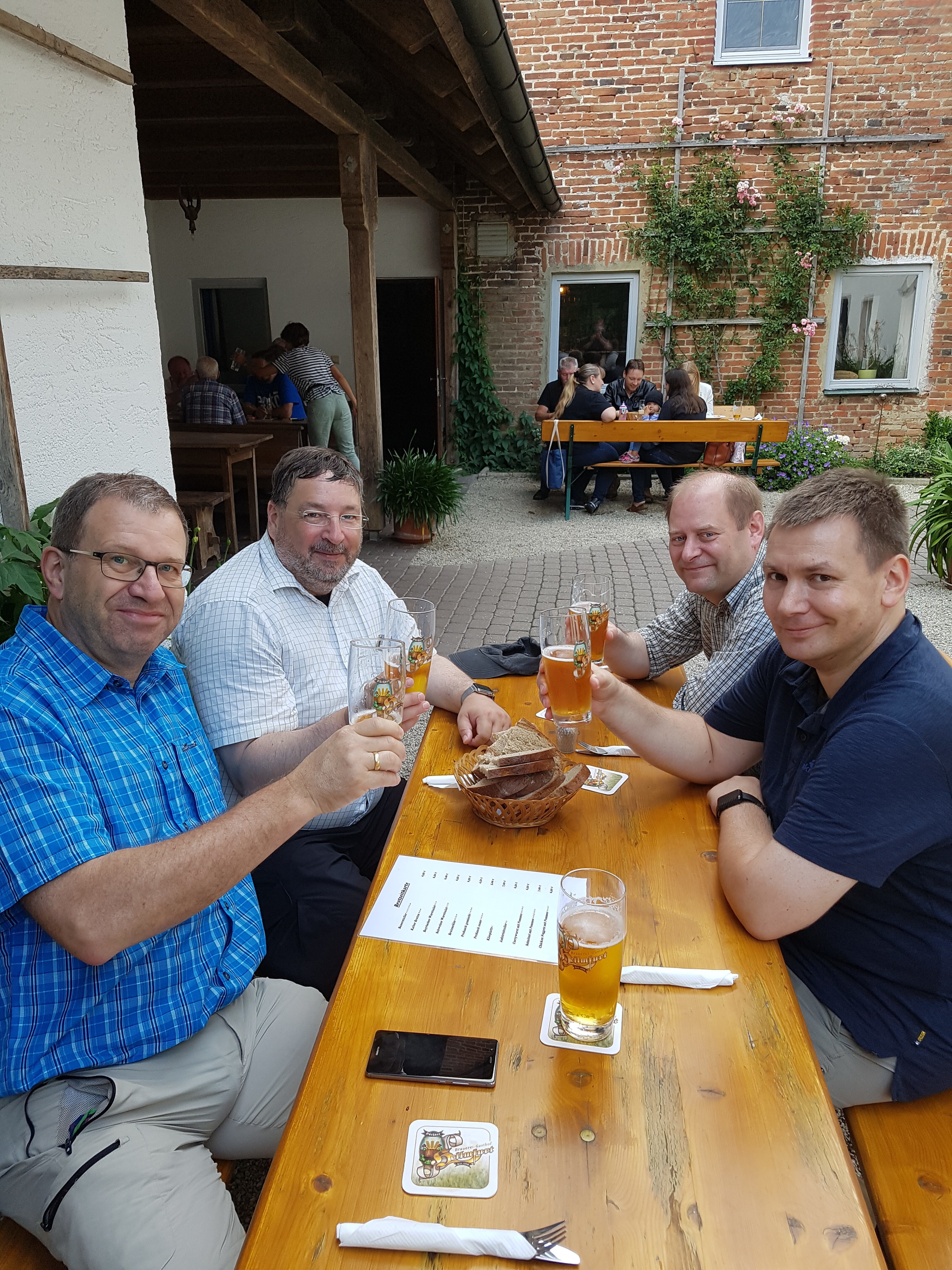 Brauerei Büchner, Heilmfurt