Kategorie: Allgemein
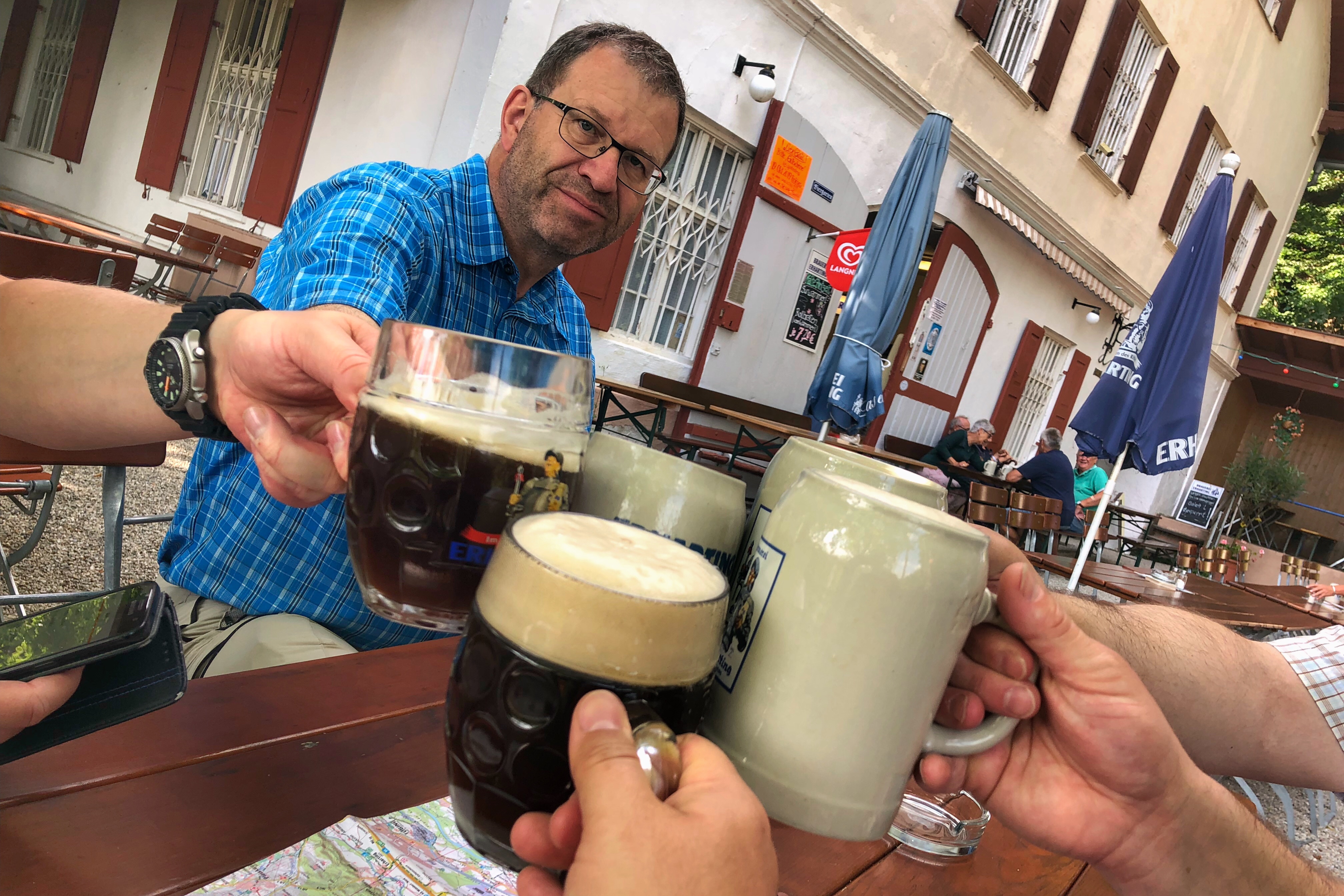
 Erste Station des Tages ist der Bräu im Moos mit einer schönen Bierauswahl und ebenso schönen Biergarten.
Baustelle
Auf dem Weg zum Bräu im Moos lassen wir uns nicht aufhalten.

Abendessen in Mühldorf am Inn
 Heute Abend: Industriebier

Begrüßungsbier in Mühldorf am Inn
 Im Turmstüberl des Hotels gibt’s einen ersten Begrüßungsschluck mit Erhartinger Pils. (Geht so…)
Turmstüberl
 Nach Ankunft und Duschen ein Freibier im Turmstüberl vor dem Essen
Tour des dritten Tages
Map of the route “Tour des dritten Tages”: 17.180 m, 389 m of climbing and 415 m of descent, elevation between 396 m and 524 m, time 08:28:39. It starts at 48.39032, 12.60928 and ends at 48.27465, 12.57634 (latitude, longitude).
Gesamtstrecke: 17211 m
Maximale Höhe: 524 m
Minimale Höhe: 396 m
Gesamtanstieg: 389 m
Gesamtabstieg: 415 m
Gesamtzeit: 08:29:11
Sommerkeller

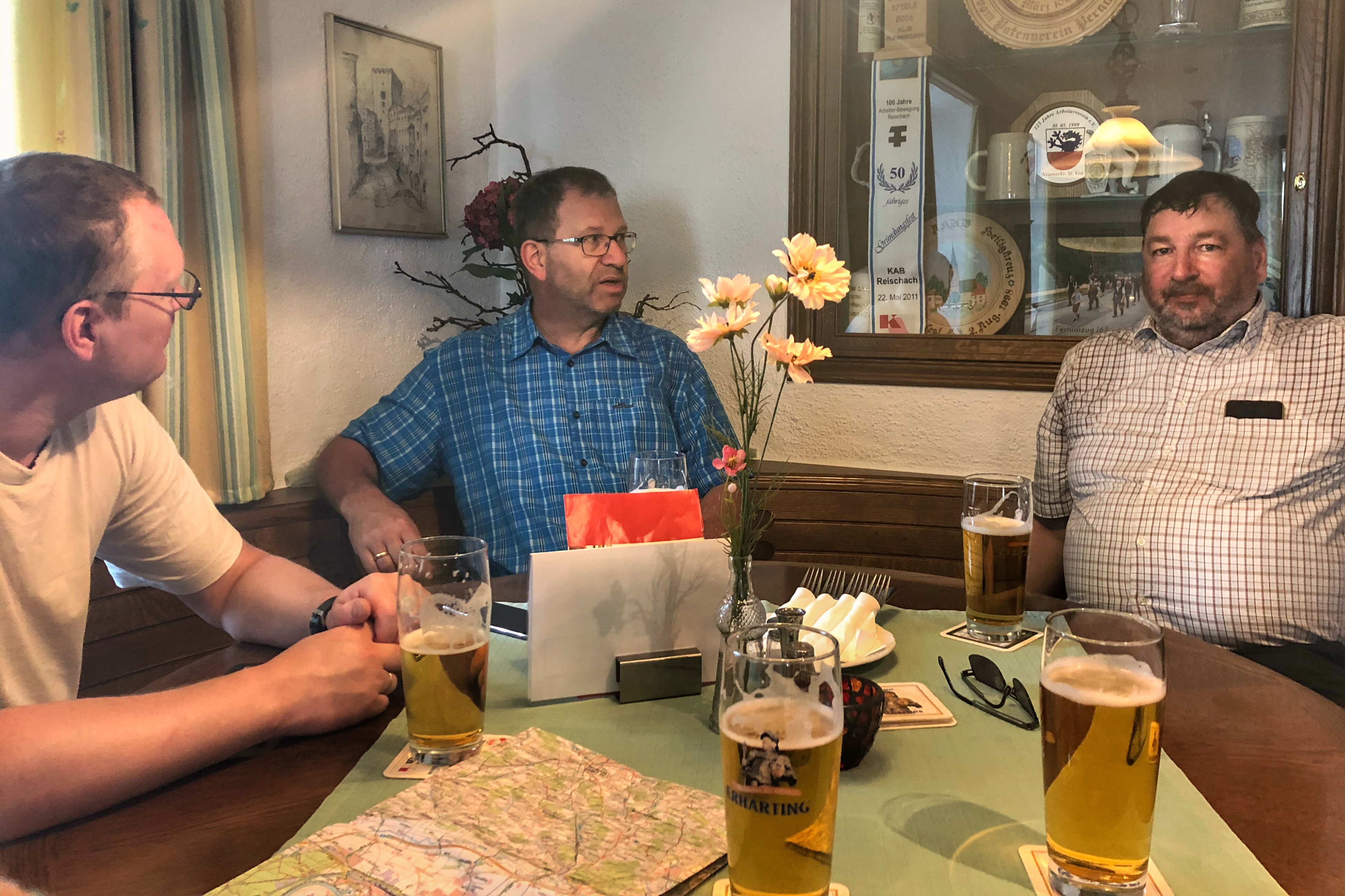
Mittagsrast in Pleiskirchen
Von Prost nach Asbach

 In Prost gab es leider kein Ortsschild, vermutlich schon geklaut.
Weltenburger Dunkel in Roßbach
