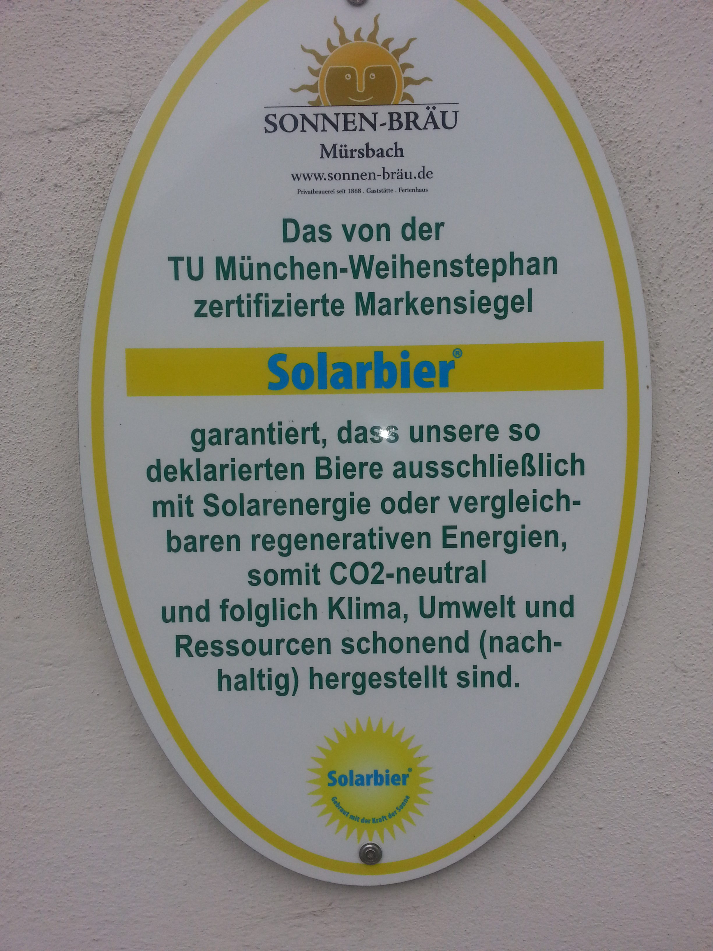
Wir trinken ökologisch korrekt
Bier und wo es herkommt
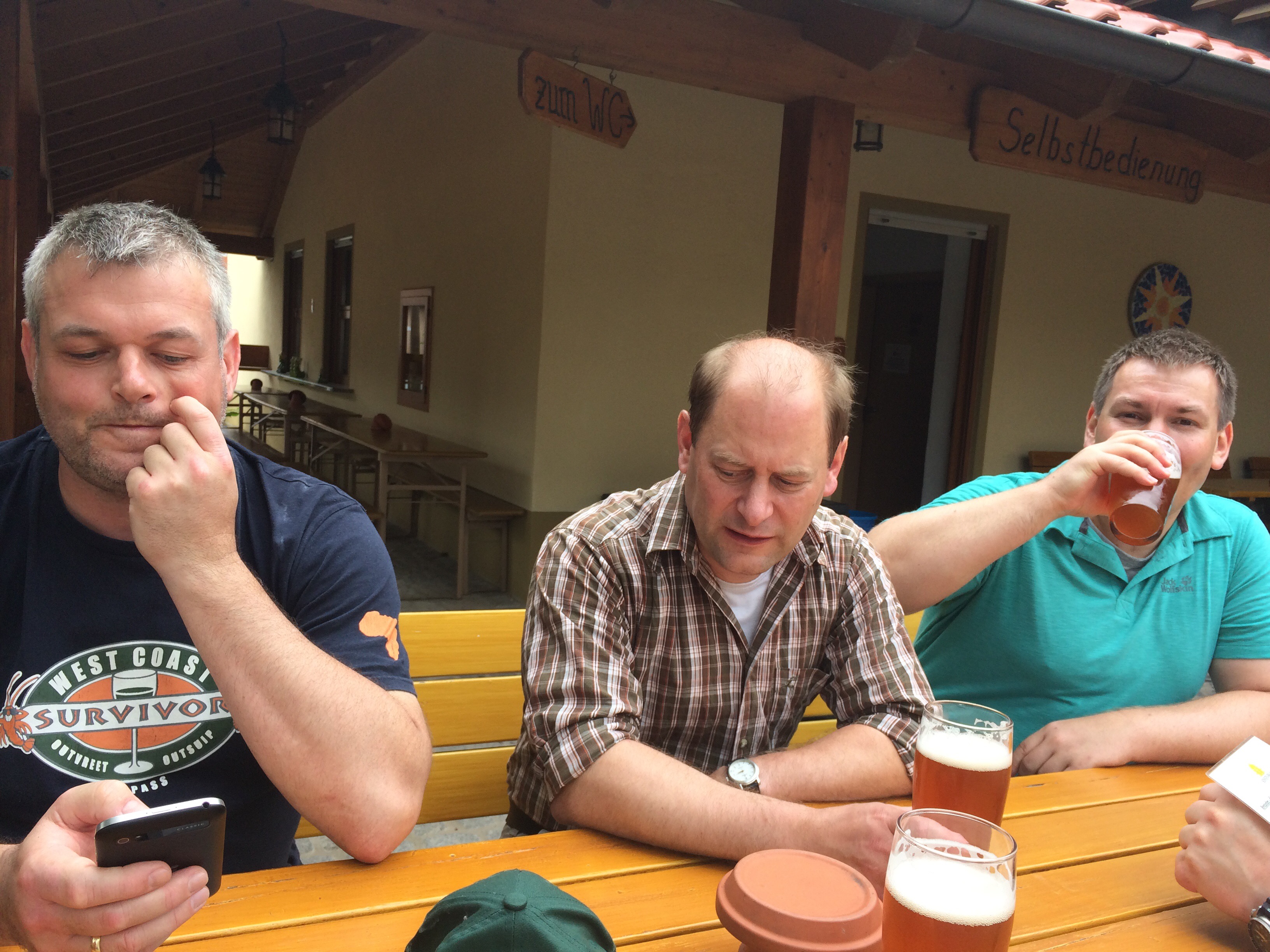
Vierte Pause des Tages nach 19 km bei Sonnenbräu in Mürsbach. Es gibt ein Pale Ale mit dem Namen Hopfenblümla.
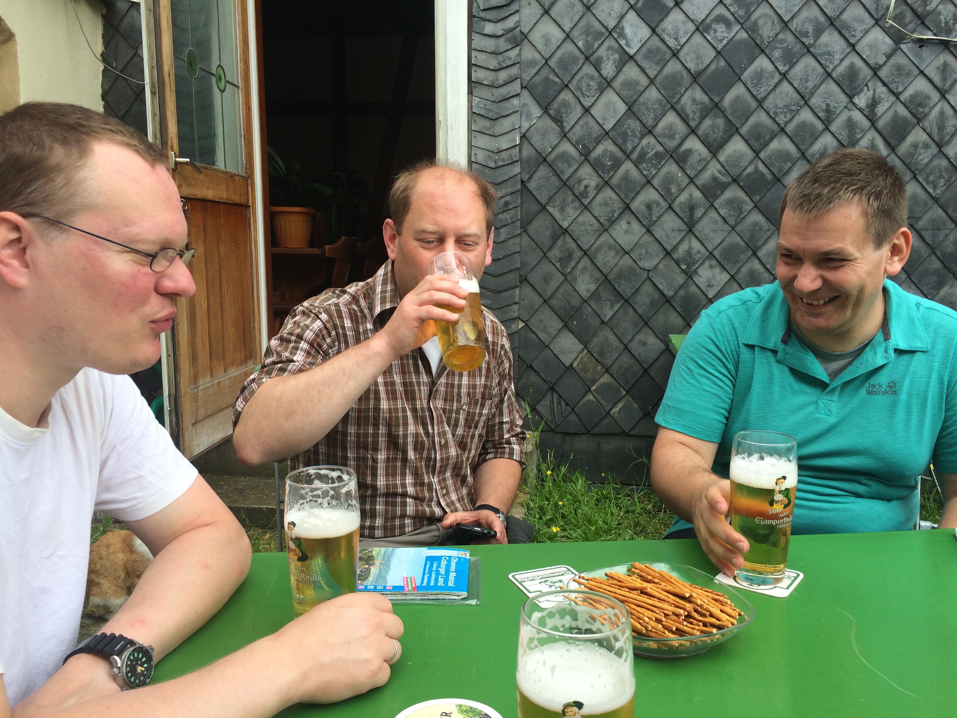
Zweite Rast des Tages im Schwarzen Adler in Untermerzbach. Es gibt Gambertbräu
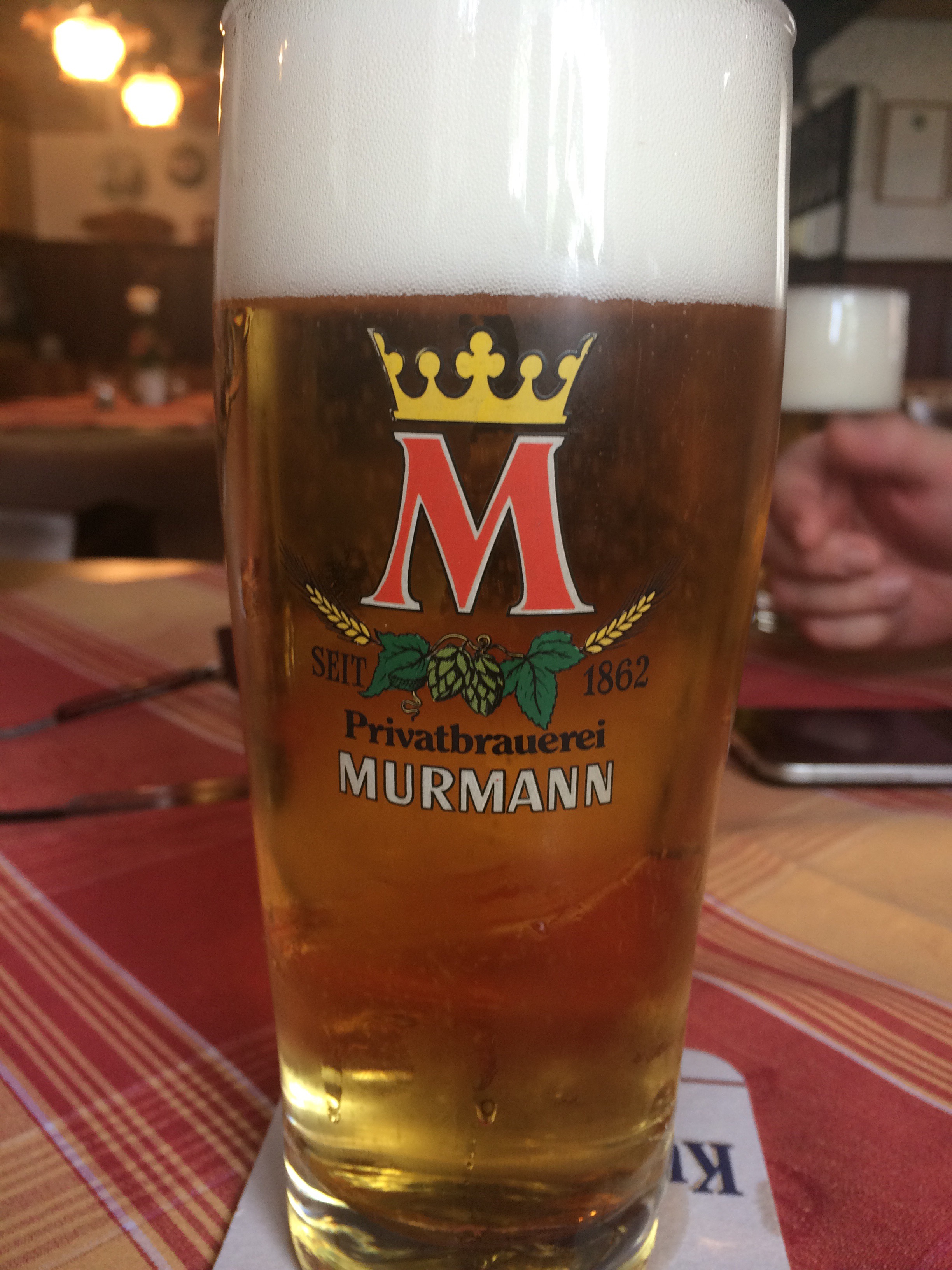
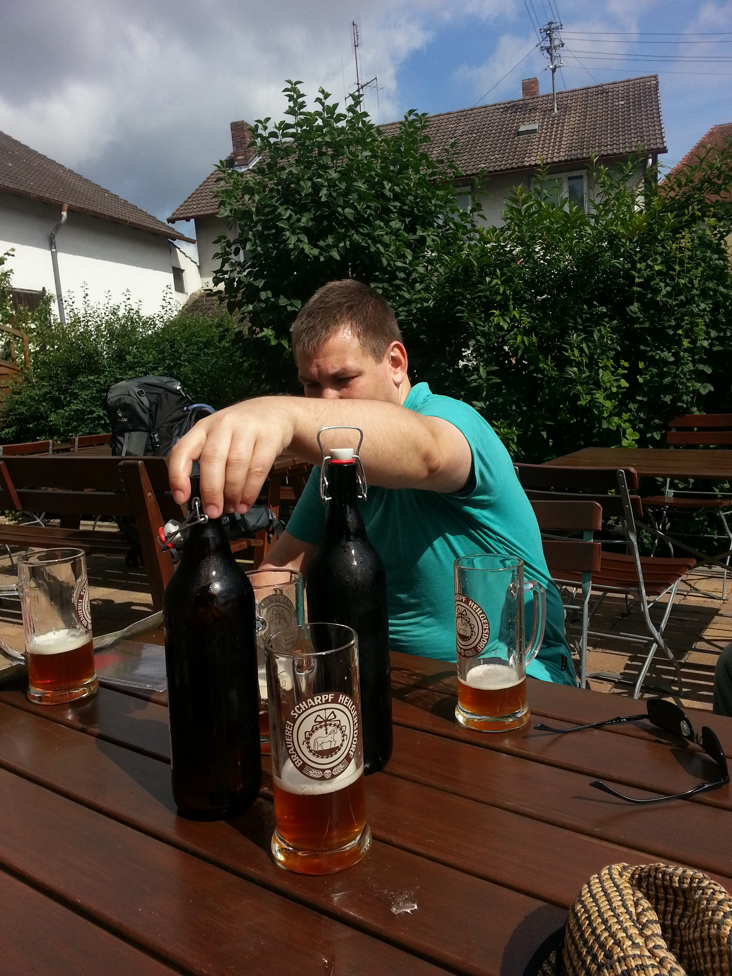
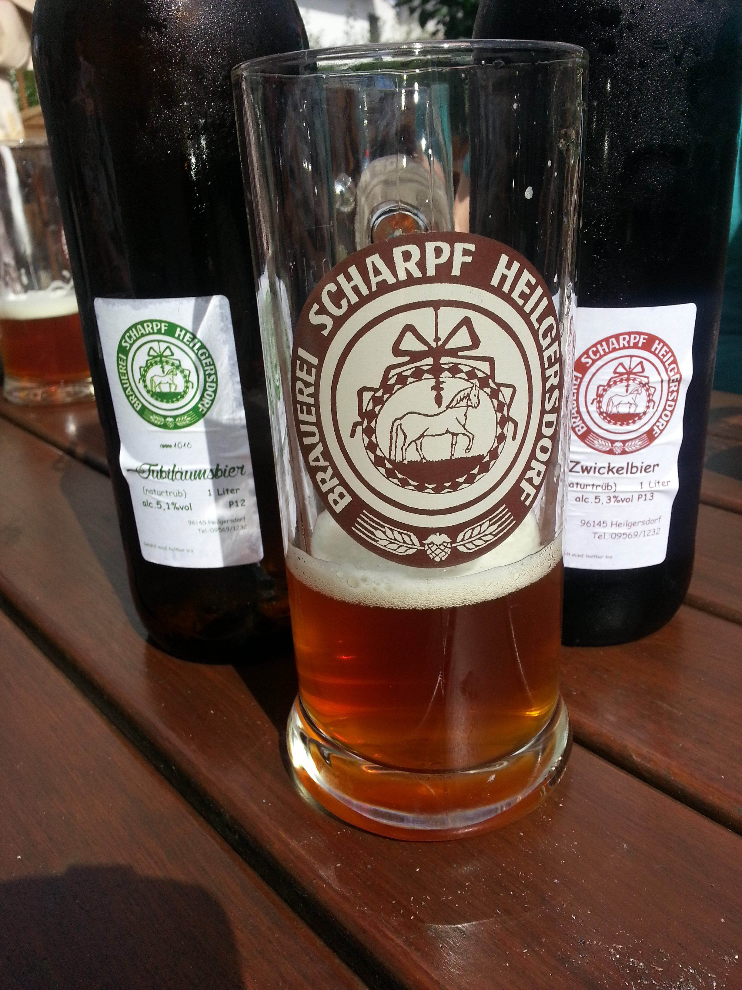
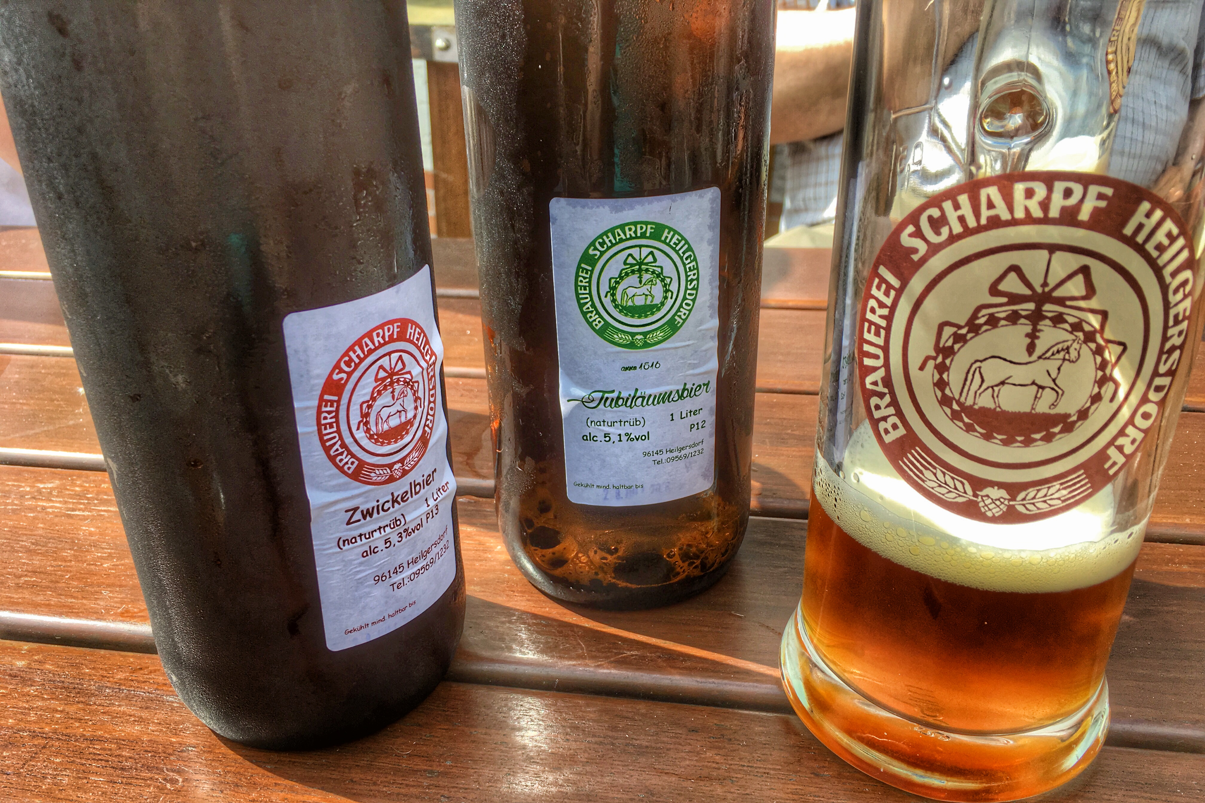
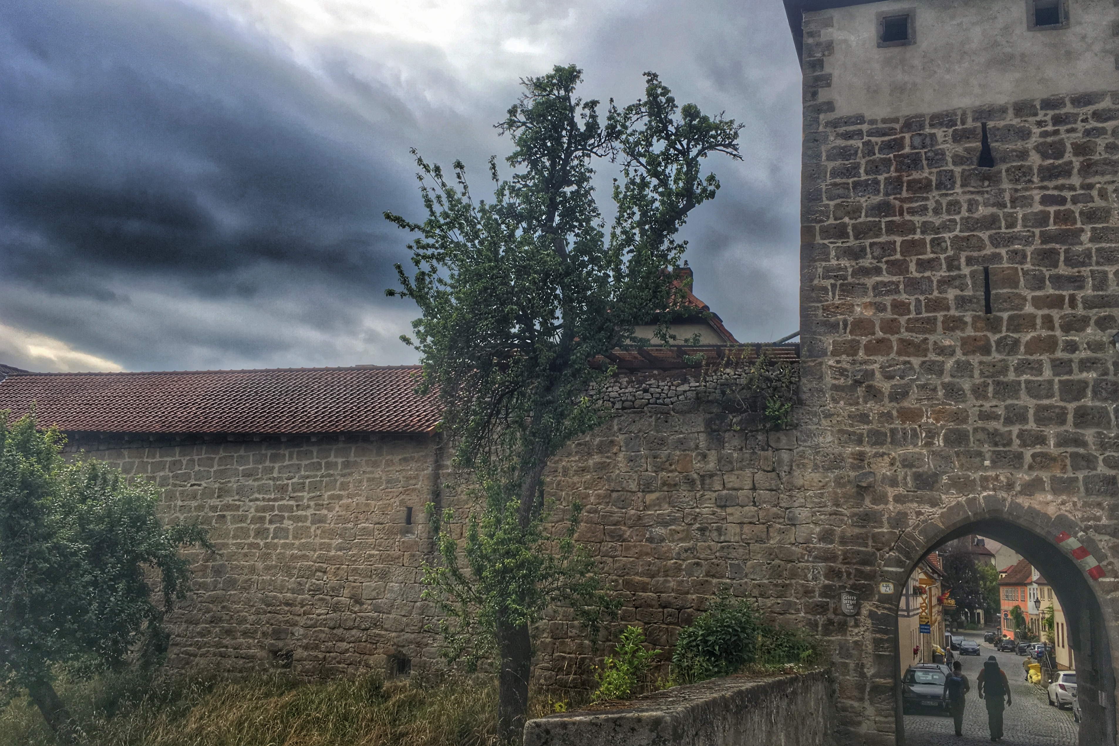
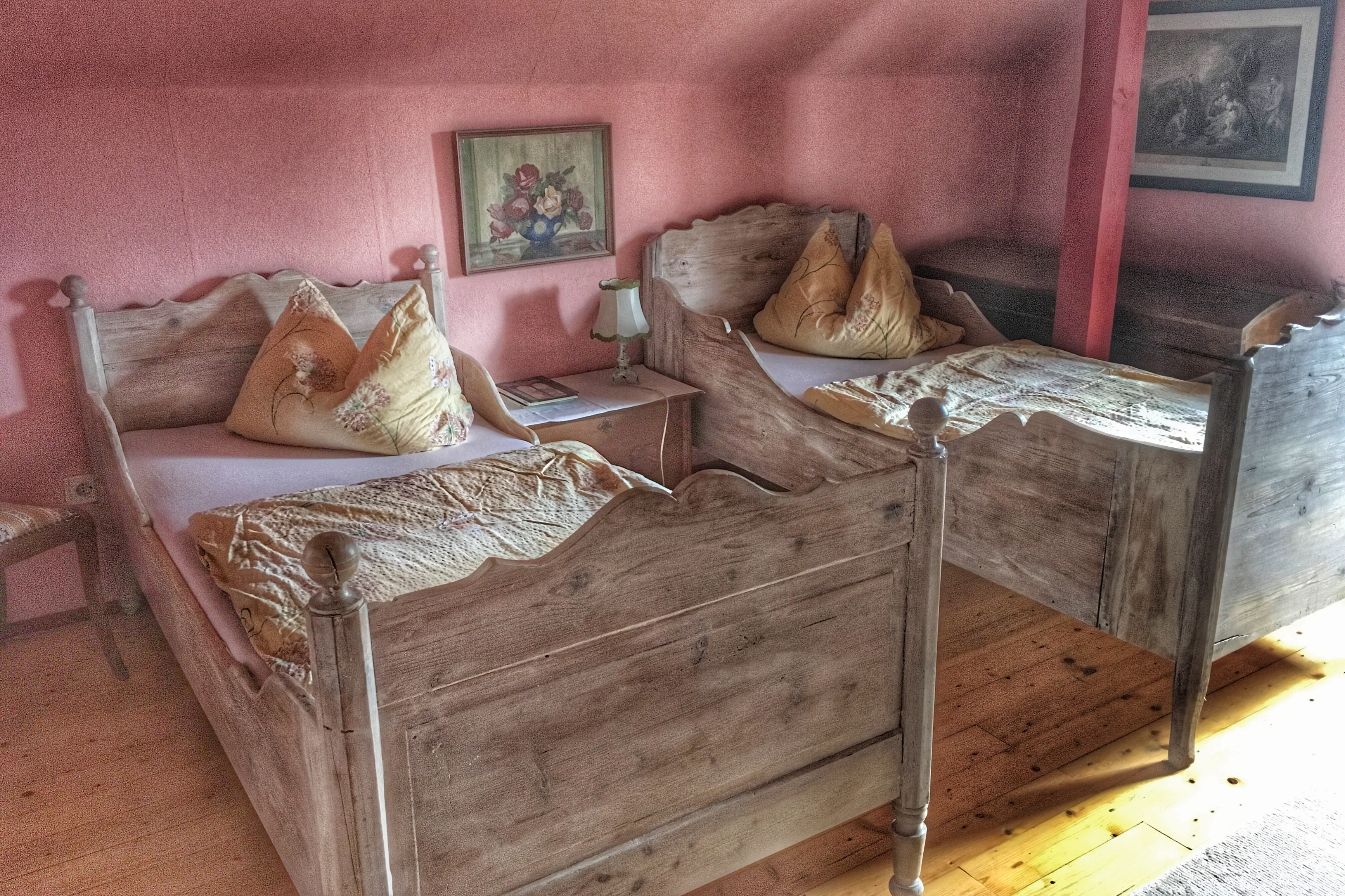
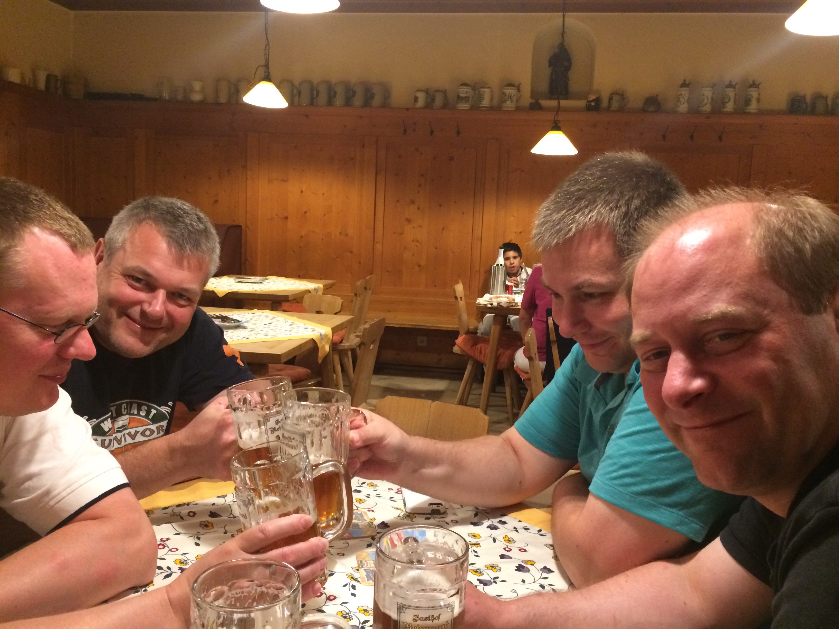
Hausgebrautes als Absacker im Gasthof Reinward.
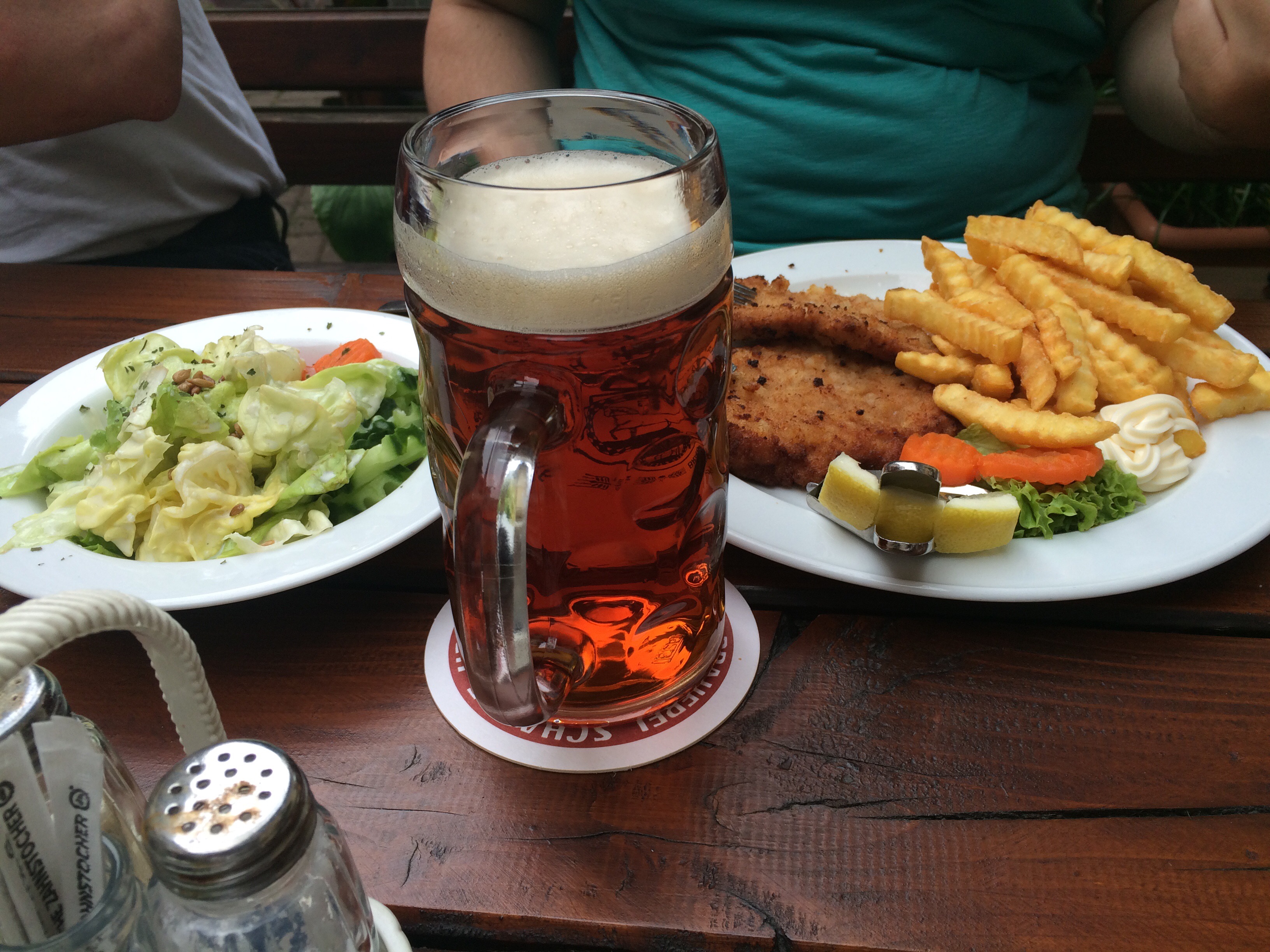
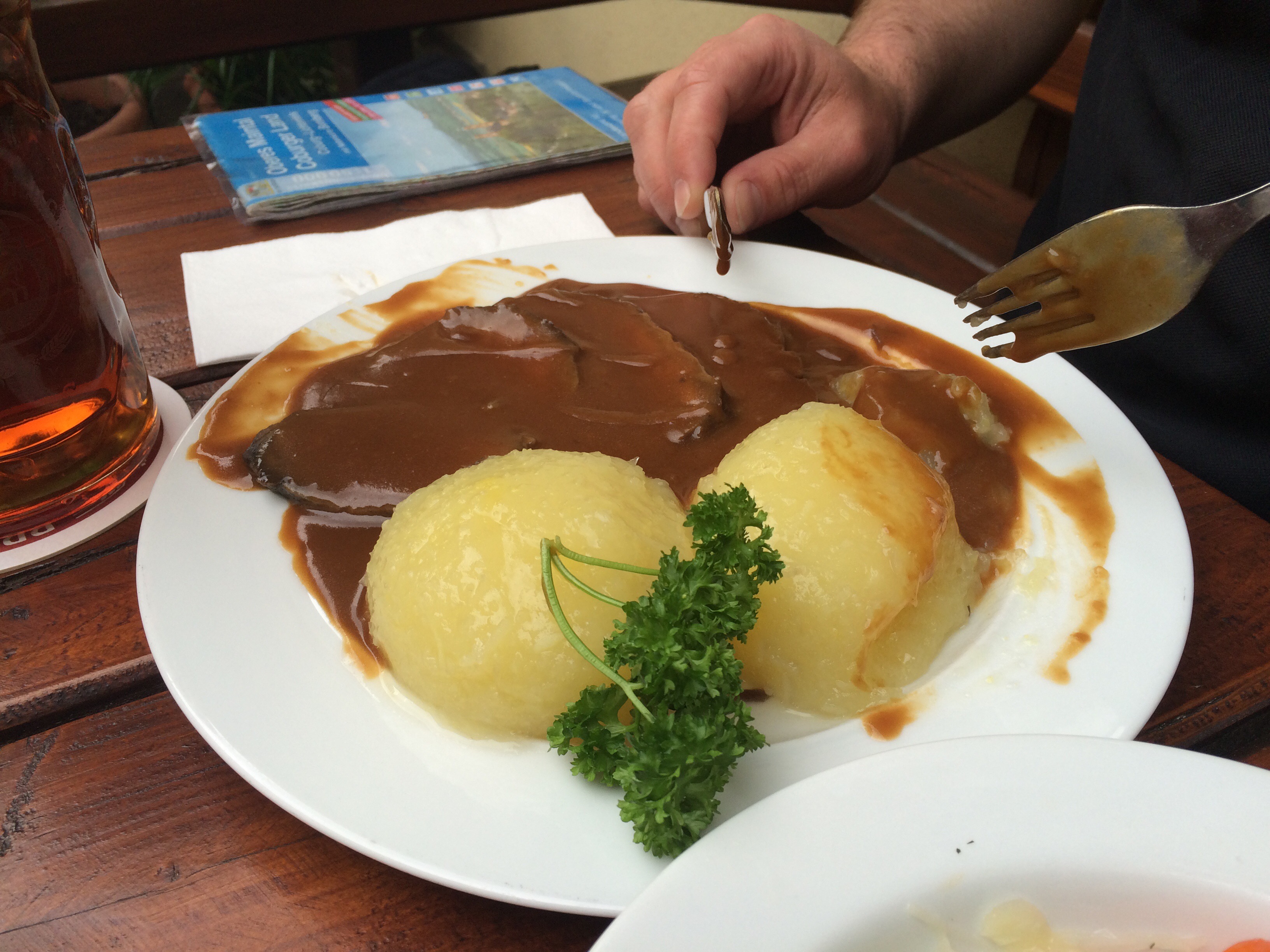
Abendessen im Altstadthof Seßlach.

Map of the route “Route vom 27.07.2016”: 20.635 m, 436 m of climbing and 431 m of descent, elevation between 269 m and 427 m, time 07:32:02. It starts at 50.15452, 11.05386 and ends at 50.18721, 10.84375 (latitude, longitude).