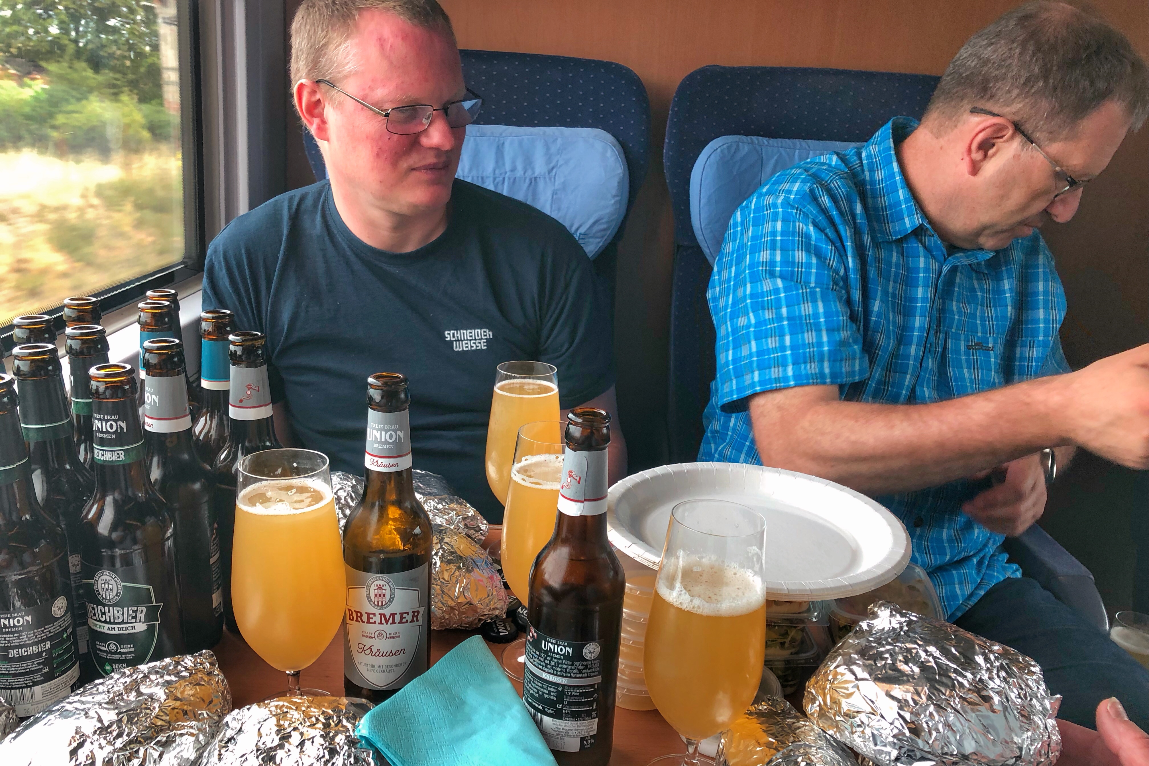
Vielen Dank Don
Bier und wo es herkommt
Vielen Dank Don
Spannend und rund…, auch naturtrüb, würzig und malzig.
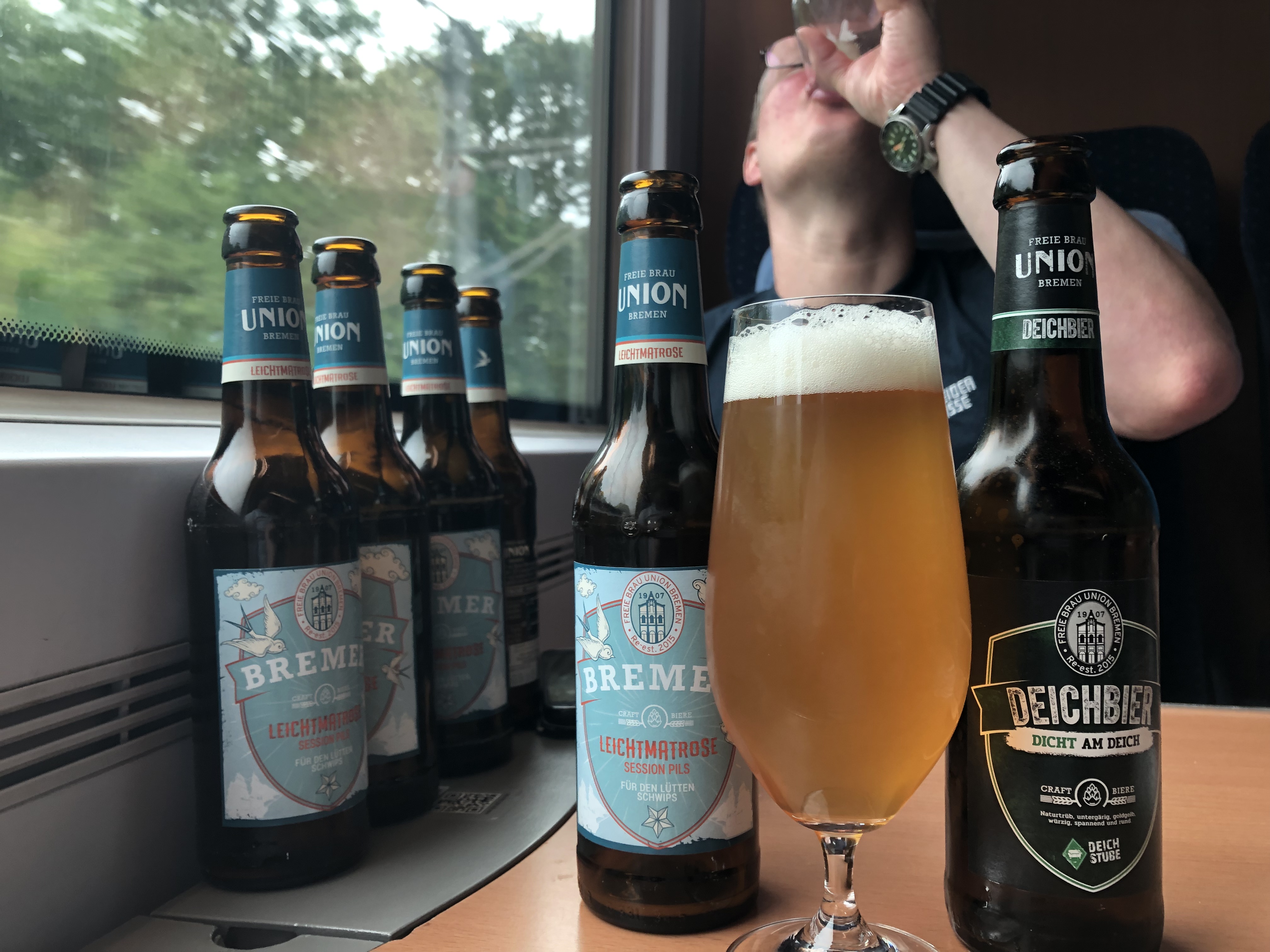
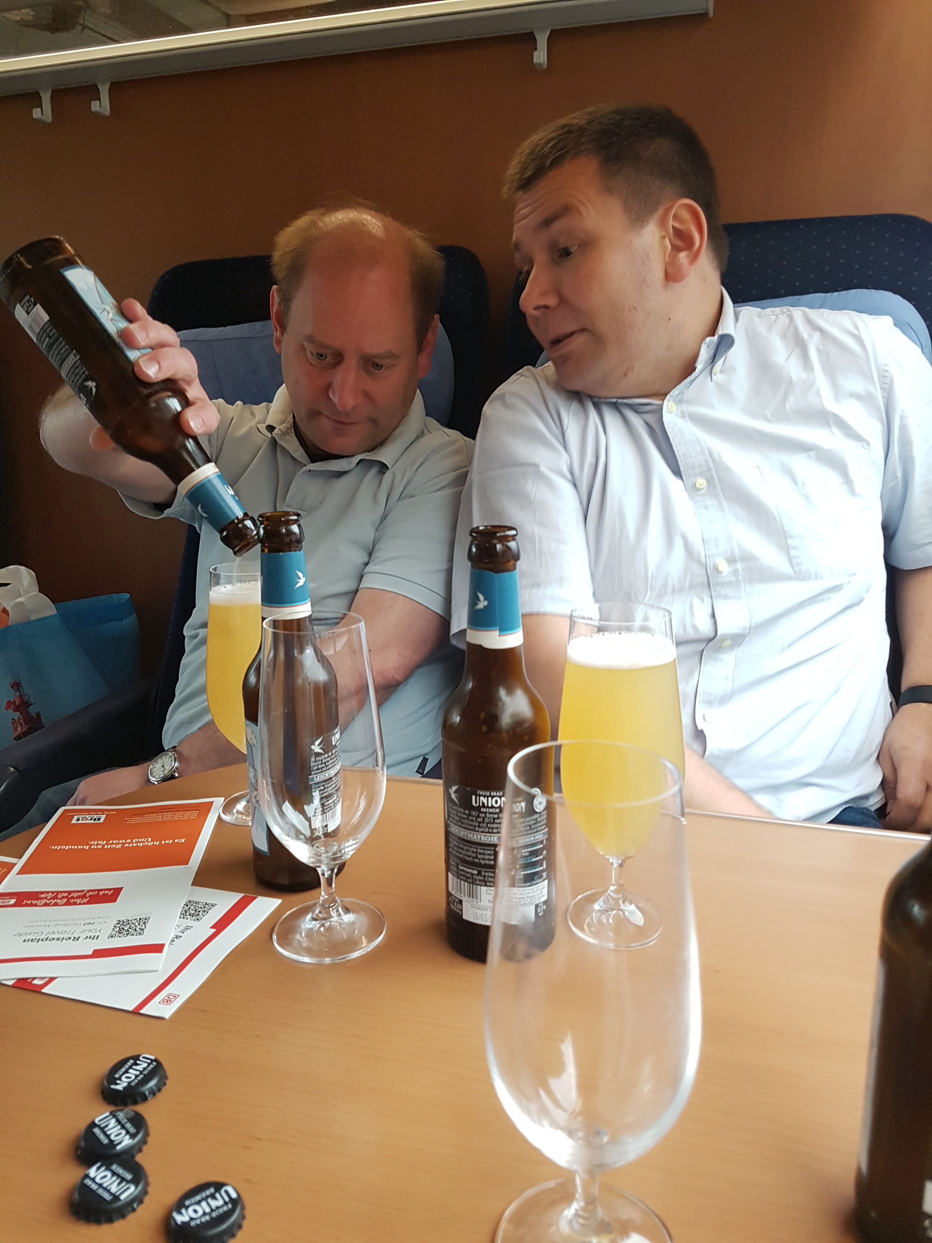

 In der Wolpoa saßen wir noch für ein letztes Bier zusammen.
Map of the route “Route des 7. Tages 2018”: 20.516 m, 527 m of climbing and 574 m of descent, elevation between 338 m and 465 m, time 07:47:19. It starts at 48.84506, 11.98605 and ends at 48.97455, 12.03644 (latitude, longitude).
 Im Biergarten des Zirngibl sitzen wir mit einem Barock Dunkel und Blasmusik.

 Geschmorte Lammhaxe mit Thymiansauce an etwas Gemüse – lecker.
 Kneitinger Regensburg